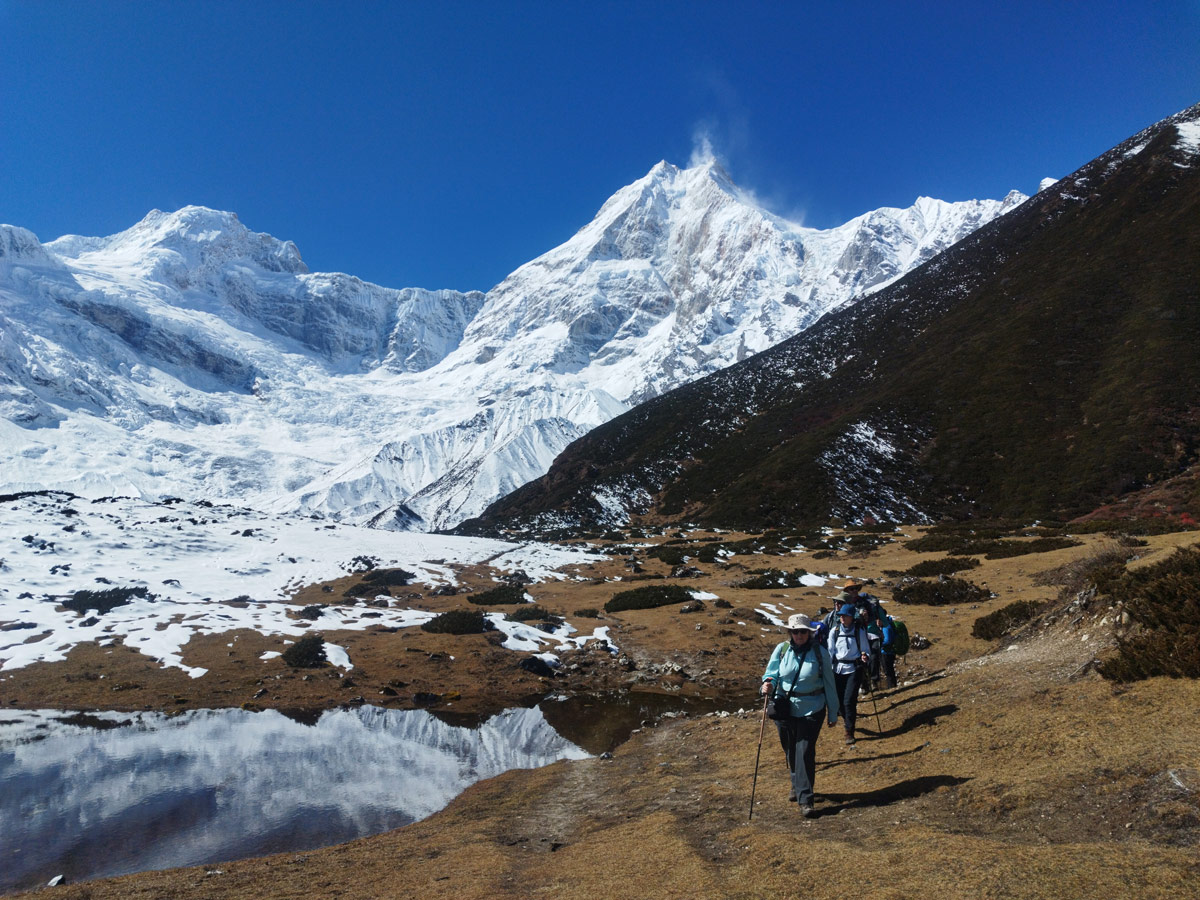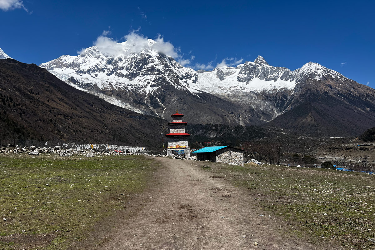



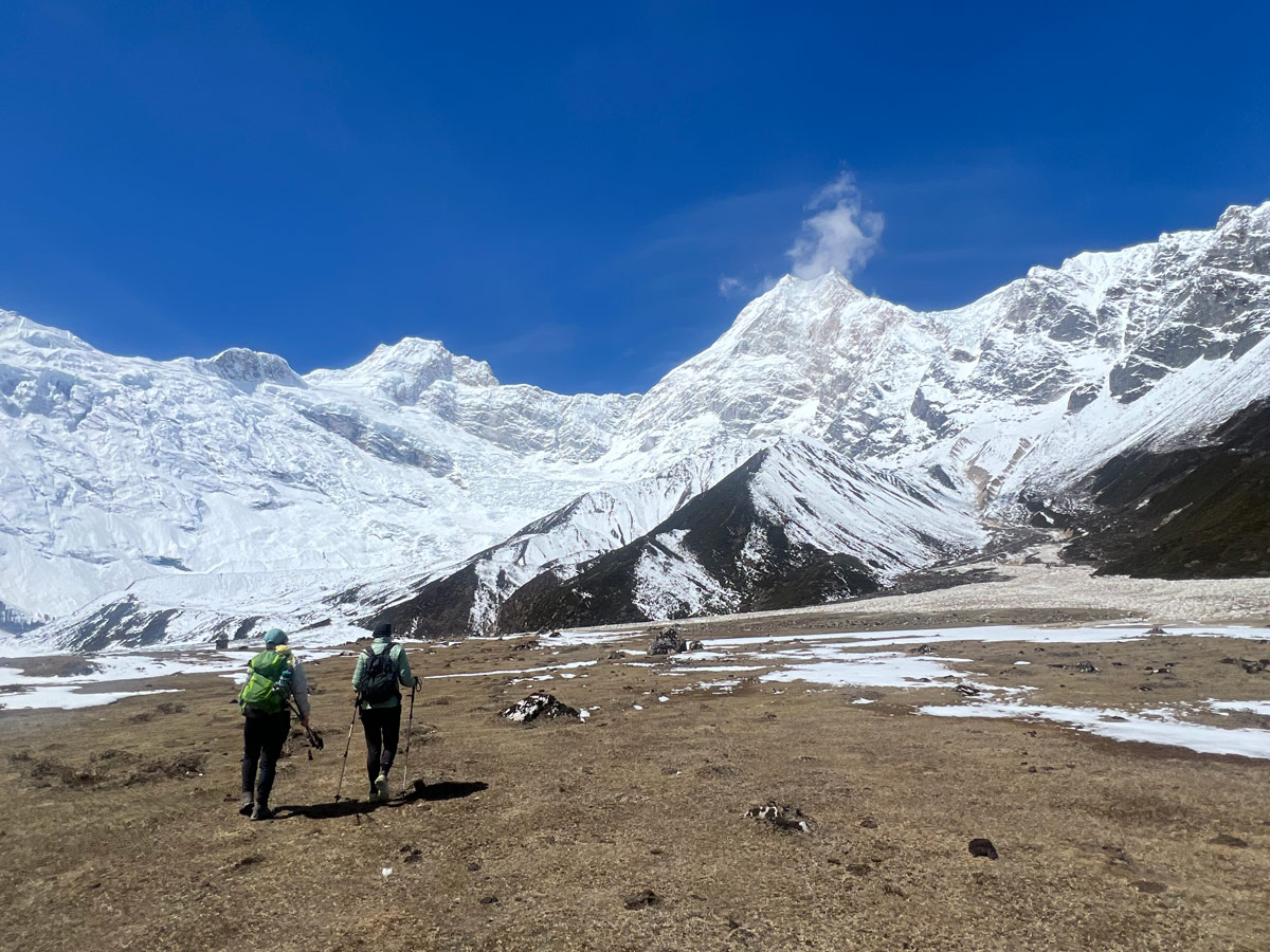
The Manaslu Circuit Trek is one of the most rewarding high-altitude treks in Nepal, and a big part of what makes it special is also what makes it tough: the elevation.
Unlike busier trails such as Everest Base Camp or Annapurna Base Camp, this route takes you through remote Himalayan villages, deep river valleys, ancient monasteries, and dramatic mountain landscapes before crossing the spectacular Larkya La Pass.
Before you sign up for this trek, you need to understand the elevation profile. It’s not a steady, gentle climb like walking up a hill. It’s a rollercoaster of ups and downs, with short climbs followed by drops, followed by longer climbs again.
The trek starts at Machha Khola, sitting at 869 m (2,851 ft). From there, the trail climbs all the way up to Larkya La Pass, the highest point of the trek at 5,160 m (16,929 ft). The highest place you actually sleep is Dharmasala, at 4,460 meters (14,632 ft), the night before you cross the pass.
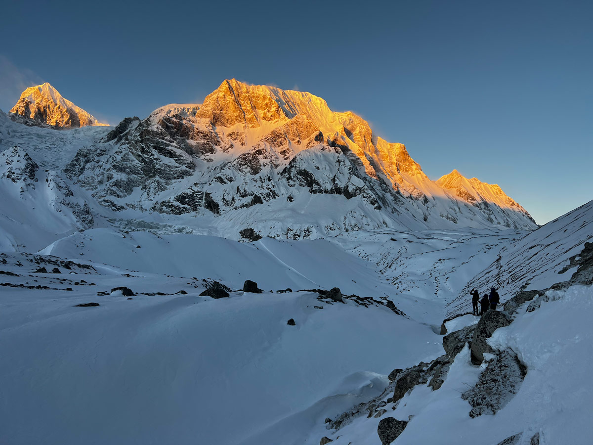
Right in the middle of the trek, there’s a built-in acclimatization day at Samagaon. This single day matters more than almost anything else in your itinerary, because it gives your body a chance to adjust to the thin air before you climb even higher.
Manaslu Circuit Trek Elevation Overview
Before diving into each day, it helps to see the whole picture. Below is the elevation gain table covering every trekking day from Kathmandu to Dharapani.
| Location | Starting Elevation | Ending Elevation | Maximum Elevation |
| Kathmandu – Machha Khola | 1,400 m/4,593 ft | 869 m/2,851 ft | 1,400 m / 4,593 ft |
| Machha Khola – Jagat | 869 m/2,851 ft | 1,340 m/4,396 ft | 1,340 m/4,396 ft |
| Jagat – Deng | 1,340 m/4,396 ft | 1,860 m/6,102 ft | 1,860 m/6,102 ft |
| Deng – Namrung | 1,860 m/6,102 ft | 2,630 m/8,629 ft | 2,630 m/8,629 ft |
| Namrung – Lho | 2,630 m/8,629 ft | 3,180 m/10,433 ft | 3,180 m/10,433 ft |
| Lho – Samagaon | 3,180 m/10,433 ft | 3,520 m/11,549 ft | 3,520 m/11,549 ft |
| Samagaon (Acclimatization) | 3,520 m/11,549 ft | 3,520 m/11,549 ft | 4,895 m/16,060 ft (Base Camp) |
| Samagaon – Samdo | 3,520 m/11,549 ft | 3,875 m/12,746 ft | 3,875 m/12,746 ft |
| Samdo – Dharmasala | 3,875 m/12,746 ft | 4,460 m/14,632 ft | 4,460 m/14,632 ft |
| Dharmasala – Bimthang via Larkya La | 4,460 m/14,632 ft | 3,590 m/11,781 ft | 5,160 m/16,929 ft |
| Bimthang – Goa | 3,590 m/11,781 ft | 2,515 m/8,251 ft | 3,590 m/11,781 ft |
| Goa – Dharapani | 2,515 m/8,251 ft | 1,963 m/6,441 ft | 2,515 m/8,251 ft |
Looking at this table, a few things stand out right away. The starting elevation is low, at just 869 meters in Machha Khola, which is basically hot, humid, sub-tropical territory.
The highest point of the whole trek is Larkya La Pass at 5,160 meters, and it only lasts a few hours since you cross it and drop down the same day. The highest place you actually sleep is Dharmasala at 4,460 meters, right before the pass crossing.
What you’ll notice most is that the trek doesn’t rise in a straight line. You gain elevation for a few days, then it levels off around Namrung and Lho, then climbs steeply again toward Samdo and Dharmasala.
This up-and-down rhythm is completely normal for high-altitude trekking, and it actually helps your body acclimatize better than a nonstop climb would.
Manaslu Circuit Trek Distance vs Elevation
Distance alone doesn’t tell you how hard a trekking day will be. Altitude changes the equation completely. A 10-kilometer day at 1,000 meters feels nothing like a 10-kilometer day at 4,000 meters, because there’s simply less air pressure to work with higher up.
| Trek Section | Approx. Distance | Elevation Range | Difficulty |
| Lower Trail (Machha Khola to Jagat) | ~24 km | 869 m – 1,340 m | Easy to Moderate |
| Middle Trail (Jagat to Samagaon) | ~65 km | 1,340 m – 3,520 m | Moderate |
| High-Altitude Section (Samagaon to Larkya La) | ~40 km | 3,520 m – 5,160 m | Strenuous |
| Descent (Bimthang to Dharapani) | ~48 km | 3,590 m – 1,963 m | Moderate |
The whole Manaslu Circuit trek distance covers around 177 kilometers (110 miles) from Machha Khola to Dharapani.
Here it sounds like a lot, but the thing is that shorter days at higher elevations are often more exhausting than longer days down low. Walking 5 kilometers at 4,500 meters can leave you more tired than walking 15 kilometers at 1,500 meters.
Manaslu Circuit Trek Elevation Profile
Kathmandu to Machha Khola Elevation
Distance: Long drive day (approx. 150 km)
Duration: 8 to 10 hours by private vehicle
Starting Elevation: 1,400 m/4,593 ft
Ending Elevation: 869 m/2,851 ft
Ascend: Minimal
Descend: ~531 m over the drive
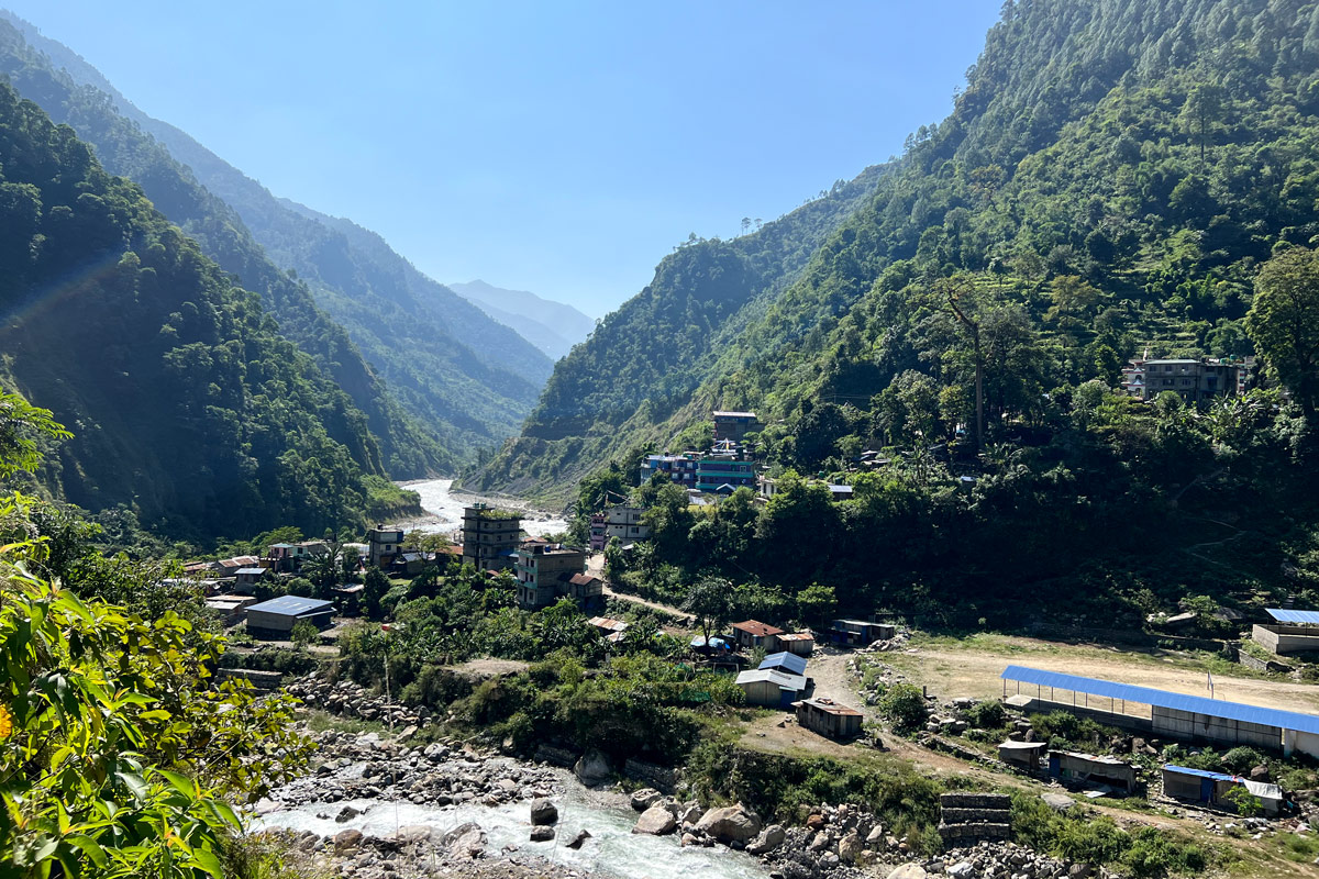
Your trek technically starts with a drive, not a walk. You’ll leave Kathmandu and head toward Machha Khola via Soti Khola, first on paved roads for a few hours, then on a bumpy, winding dirt road for the rest of the journey. There’s no altitude concern yet since you’re actually dropping in elevation compared to Kathmandu. This is your last night before the real trekking begins, so use it to rest up.
Machha Khola to Jagat Elevation
Distance: ~24 km
Duration: 6 to 7 hours
Starting Elevation: 869 m/2,851 ft
Ending Elevation: 1,340 m/4,396 ft
Ascend: ~471 m
Descend: Minor ups and downs along the river
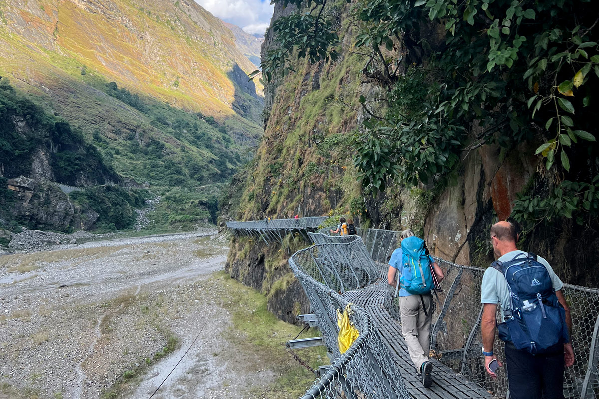
You’ll spend today walking beside the Budhi Gandaki River, crossing several suspension bridges along the way. The trail passes through small villages, and you’ll officially enter the Manaslu Conservation Area during this stretch. The elevation gain is gradual, so there’s nothing to worry about altitude-wise yet.
Jagat to Deng Elevation
Distance: ~19 km
Duration: 6 to 7 hours
Starting Elevation: 1,340 m/4,396 ft
Ending Elevation: 1,860 m / 6,102 ft
Ascend: ~520 m
Descend: Several short drops through narrow gorges
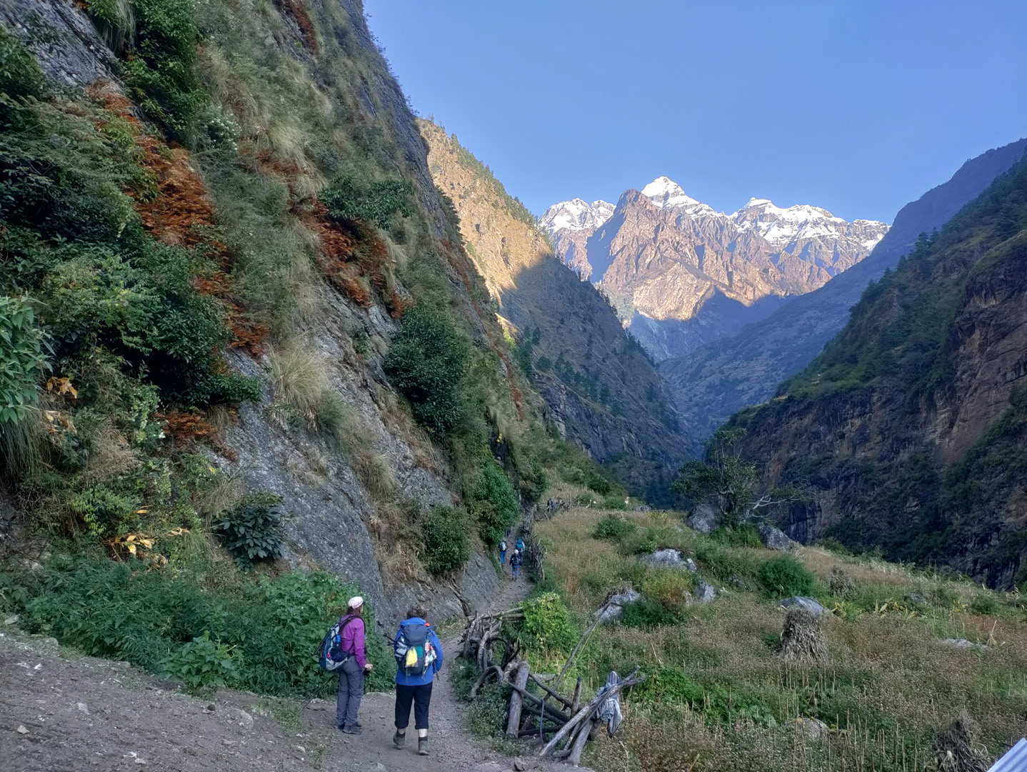
The trail today winds through forest trails and narrow gorges, with frequent short ascents and descents rather than one steady climb. You’ll notice the elevation creeping up more noticeably now. Deng marks a small cultural shift too, as Tibetan-influenced architecture starts appearing more often.
Deng to Namrung Elevation
Distance: ~19 km
Duration: 7 to 8 hours
Starting Elevation: 1,860 m/6,102 ft
Ending Elevation: 2,630 m/8,629 ft
Ascend: ~770 m
Descend: Some short dips along the way
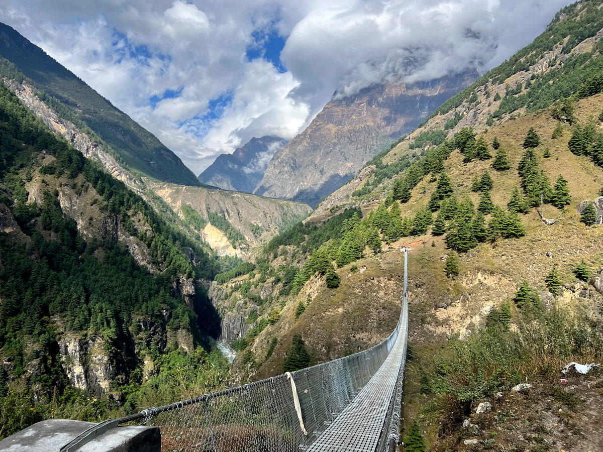
This is one of the bigger elevation-gain days on the trek, and you’ll feel it. The villages here start looking distinctly Tibetan-influenced, with mani walls and prayer flags becoming common sights. Temperatures drop noticeably compared to the lower valley, and you’ll catch your first real glimpses of Himalayan peaks.
Namrung to Lho Elevation
Distance: ~17 km
Duration: 3 to 4 hours
Starting Elevation: 2,630 m/8,629 ft
Ending Elevation: 3,180 m/10,433 ft
Ascend: ~550 m
Descend: Minimal
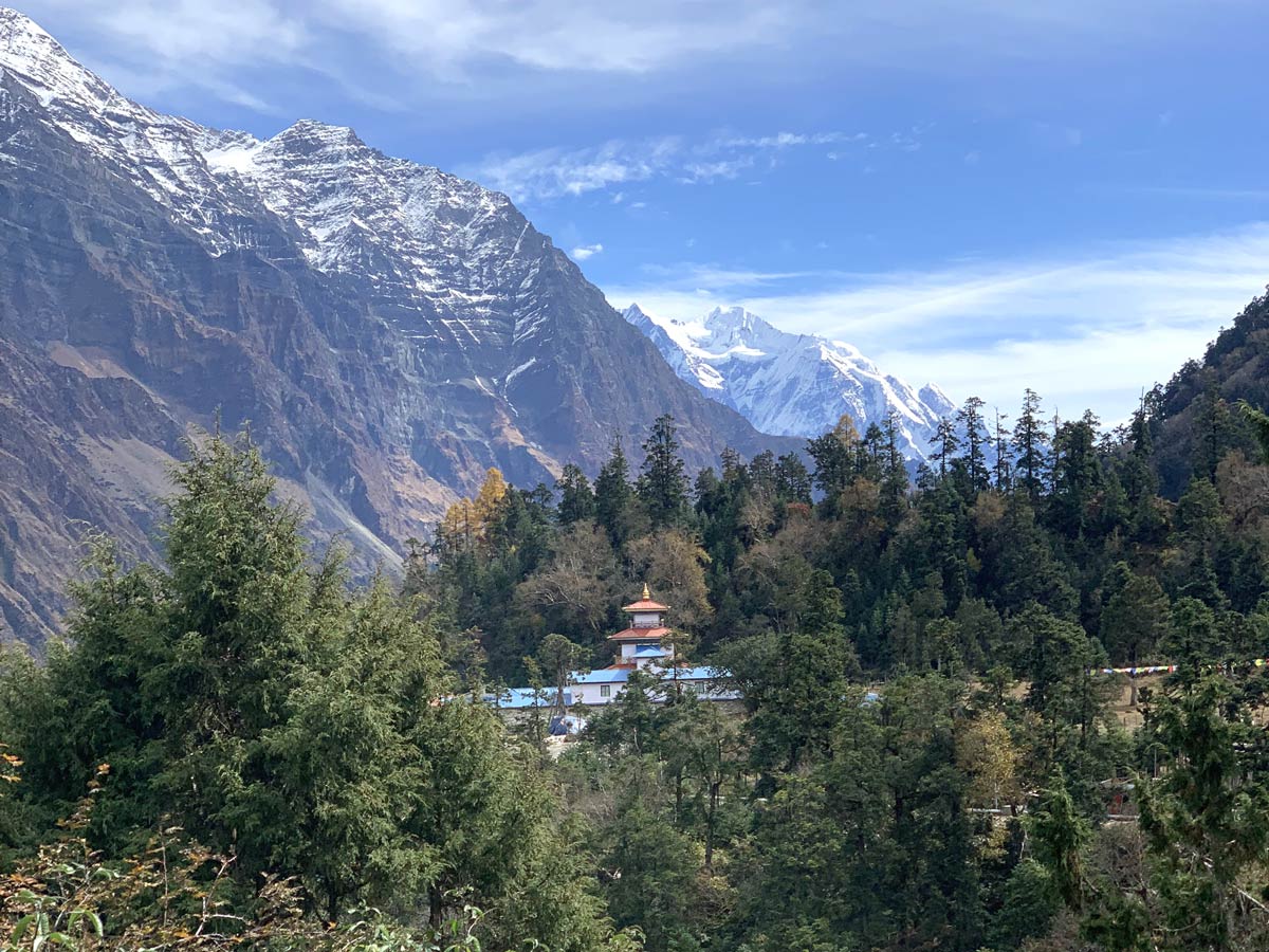
Today is shorter on purpose, since you’re gaining real altitude now and your body needs the extra downtime to adjust. Lho offers one of the best close-up views of Mount Manaslu on the entire trek, so take your time here and enjoy it. This is an easier acclimatization-friendly day built right into the schedule.
Lho to Samagaon Elevation
Distance: ~10 km
Duration: 3 to 4 hours
Starting Elevation: 3,180 m/10,433 ft
Ending Elevation: 3,520 m/11,549 ft
Ascend: ~340 m
Descend: Minor
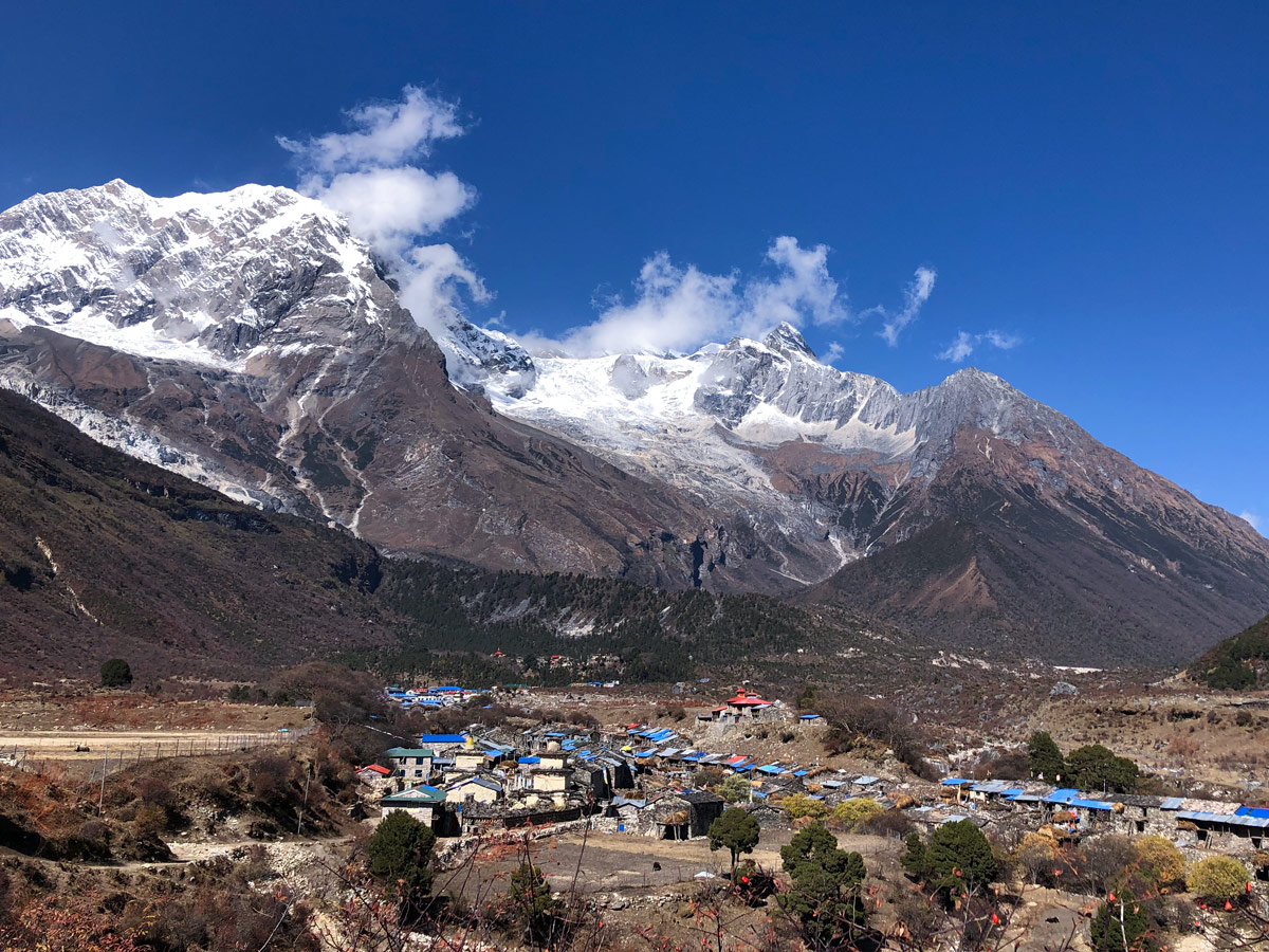
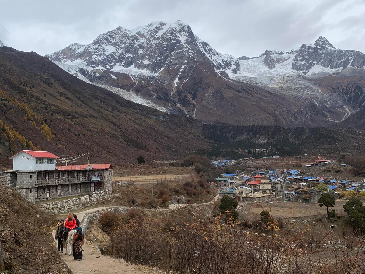
You’ll walk above the tree line for parts of today, and the landscape changes from forest to a more open, alpine feel. Samagaon itself is a large, historically significant Tibetan-influenced village and will be your base for the acclimatization day ahead.
Acclimatization Hike at Samagaon
Hiking Distance: ~10 km round trip
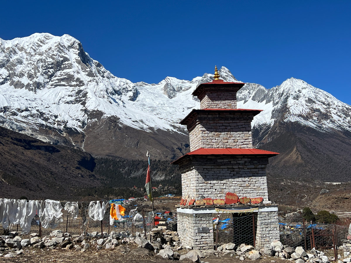
This is the most important day on your entire trek, even though you technically don’t move forward on the route. The idea follows a simple rule: climb high, sleep low. You hike up toward Manaslu Base Camp during the day, exposing your body tolow air pressure, then come back down to sleep in Samagaon. This process trains your body to handle the altitude ahead far better than resting flat all day would.
Samagaon to Samdo Elevation
Distance: ~9 km
Duration: 3 to 4 hours
Starting Elevation: 3,520 m/11,549 ft
Ending Elevation: 3,875 m/12,746 ft
Ascend: ~355 m
Descend: Minimal
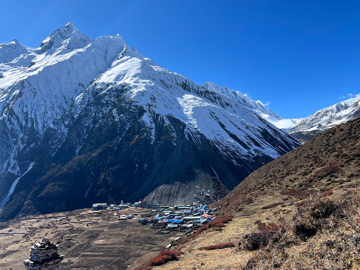
You’re now solidly in alpine territory, and the trail feels noticeably drier and more barren, almost desert-like. It’s a short day by design, giving your body more time to acclimatize before the tougher days ahead. Samdo is the last village you’ll pass before the high camps.
Samdo to Dharmasala Elevation
Distance: ~8 km
Duration: 4 to 5 hours
Starting Elevation: 3,875 m/12,746 ft
Ending Elevation: 4,460 m/14,632 ft
Ascend: ~585 m
Descend: Minimal
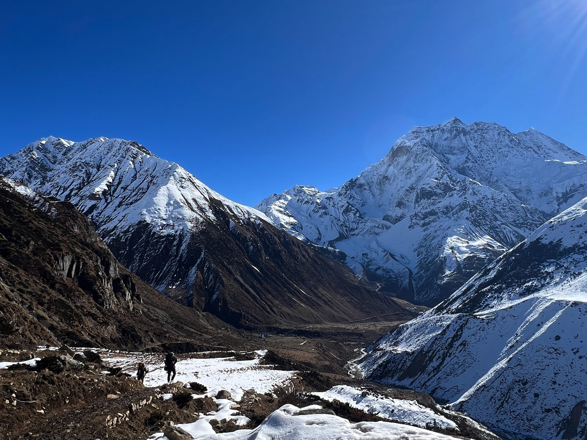
Dharmasala, also called Larke Phedi, is your highest overnight stop on the trek. Accommodation here is very basic, just simple lodges offering food and shelter. This is your final stop before crossing Larkya La Pass at 5,160 m, so rest well and pack everything you’ll need for tomorrow’s long day.
Dharmasala to Bimthang via Larkya La Pass Elevation
Distance: ~24 km
Duration: 8 to 9 hours
Starting Elevation: 4,460 m/14,632 ft
Larkya La Pass Elevation: 5,160 m/16,929 ft
Ending Elevation: 3,590 m/11,781 ft
Ascend: ~700 m
Descend: ~1,570 m
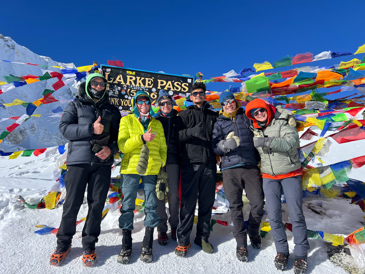
This is the big day. You’ll start early, before sunrise if possible, to avoid the strong afternoon winds that pick up at this altitude. The climb to the pass is long and gradual at first, then steep near the top. Once you’re at Larkya La Pass, you’re rewarded with panoramic Himalayan views before a long, demanding descent down to Bimthang.
Bimthang to Goa Elevation
Distance: ~15 km
Duration: 5 to 6 hours
Starting Elevation: 3,590 m/11,781 ft
Ending Elevation: 2,515 m/8,251 ft
Ascend: Minor
Descend: ~1,075 m
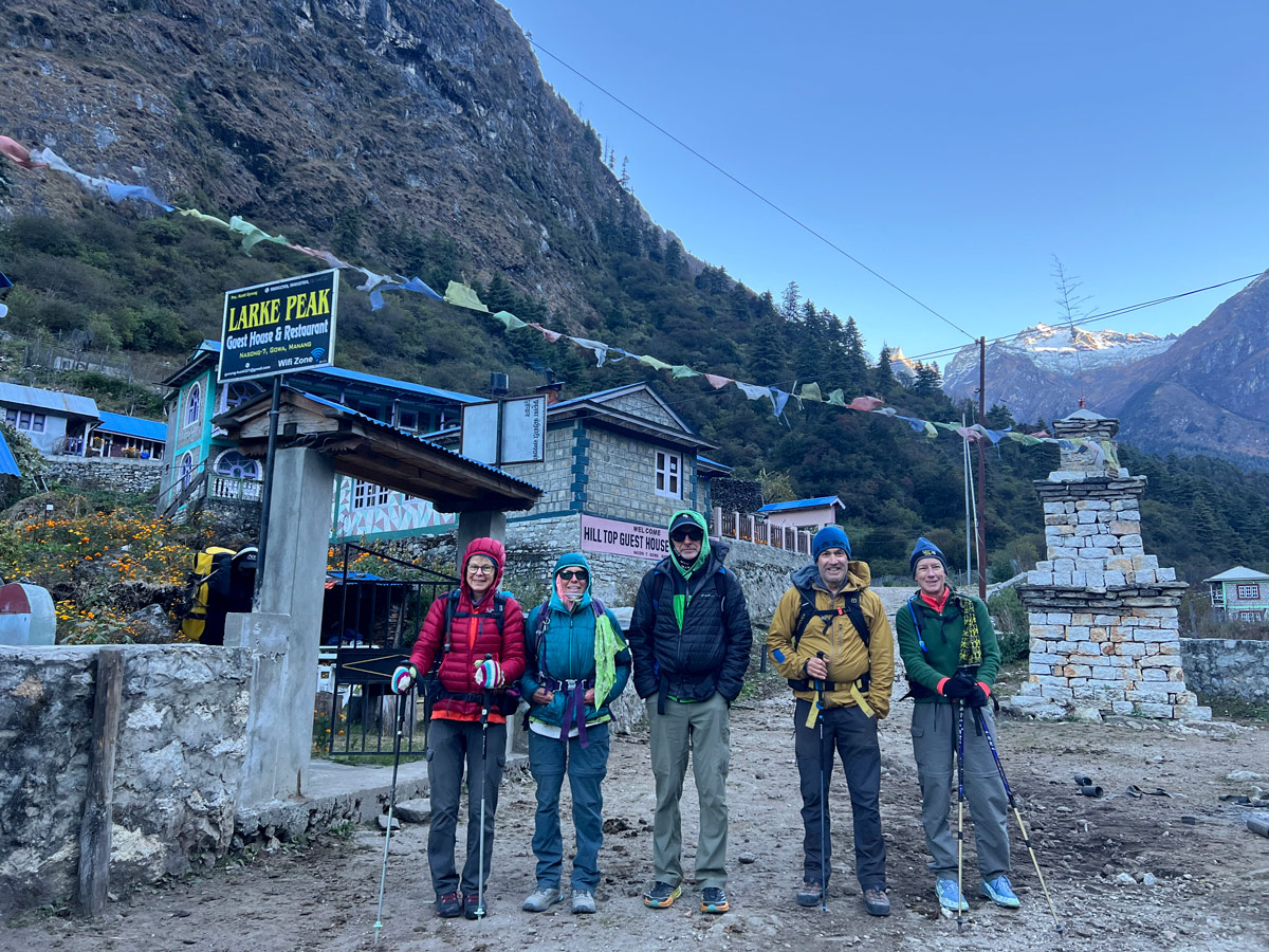
After the exhausting pass crossing, today feels like a relief. You’ll pass through forest trails, and the air noticeably warms up as you descend. Oxygen levels improve significantly, and most trekkers report feeling much stronger on this day compared to the days before the pass.
Goa to Dharapani Elevation
Distance: ~14 km
Duration: 5 to 6 hours
Starting Elevation: 2,515 m/8,251 ft
Ending Elevation: 1,963 m/6,441 ft
Ascend: Minor
Descend: ~552 m
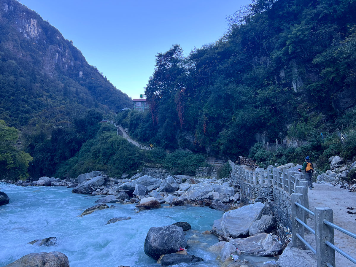
This is your final trekking day. The trail continues to descend, and you’ll pass through villages like Tilije before reaching Dharapani, where the Manaslu Circuit officially joins the Annapurna Circuit trail. From here, it’s a scenic drive back to Kathmandu.
Elevation Profile of the Manaslu Circuit Trek
If you were to draw out the daily overnight elevations of Manaslu Circuit trek, you’d see a gradual climb from 869 meters at Machha Khola, a flattening-out period around Namrung and Lho, a small side spike up to 4,895 meters on the acclimatization day, then a final steep push to 5,160 meters at Larkya La Pass, followed by a sharp drop back down to 3,590 meters at Bimthang.
The shape isn’t a smooth curve. It looks more like a staircase with a few landings built in along the way, which is exactly the point. Those flat stretches and the acclimatization day are what make the trek safe to complete.
Acclimatization on the Manaslu Circuit Trek
Samagaon is chosen as the main acclimatization stop for a good reason: it sits at 3,520 meters, right around the altitude where acute mountain sickness (AMS) risk starts becoming real for many people.
Spending an extra day here, combined with a hike up to Manaslu Base Camp, gives your body a controlled way to adjust before pushing higher.
The “climb high, sleep low” principle works because your body starts producing more red blood cells and adapting to lower air pressure when it’s exposed to altitude during the day, but it recovers better overnight at a lower elevation.
A few habits make a real difference during this acclimatization process:
- Keep a slow, steady walking pace rather than rushing to the next stop.
- Drink plenty of water throughout the day, since dehydration makes altitude symptoms worse.
- Eat regular, balanced meals even if your appetite drops at higher elevation.
- Get full nights of rest and avoid pushing yourself on the acclimatization hike.
- Follow your guide’s instructions closely, since they’re trained to spot early symptoms you might miss in yourself.
Highest Point of the Manaslu Circuit Trek
Larkya La Pass (5,160 m / 16,929 ft)
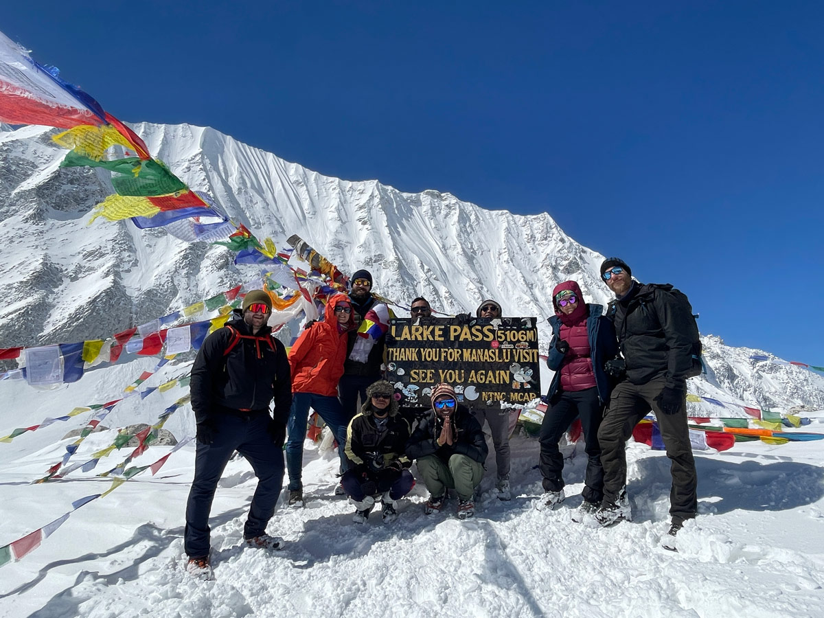
Larkya La Pass is the highest point of the entire Manaslu Circuit Trek, and it’s also the toughest single day. Sitting between Dharmasala and Bimthang, this pass connects the Manaslu region to the Annapurna region.
The trail conditions can be rocky and, in colder months, icy or snow-covered. Weather at this altitude changes fast, and mornings tend to be calmer than afternoons, which is why trekkers cross early.
Despite the challenge, the payoff is real. From the top of Larkya La Pass, you get sweeping views of Himlung Himal, Cheo Himal, Kang Guru, and Annapurna II, along with a sense of accomplishment that’s hard to match anywhere else on the trek.
How Difficult Is the Manaslu Circuit Trek Elevation?
The Manaslu Circuit Trek is considered strenuous, and elevation is the main reason why. It’s not one single hard day, it’s the cumulative effect of nearly two weeks of altitude exposure, long trekking days, and a genuinely high pass crossing.
Compared to the Everest Base Camp Trek, which tops out at Kala Patthar around 5,545 meters, Manaslu’s Larkya La Pass at 5,160 meters is slightly lower, but the pass crossing itself, combined with the long descent on the same day, makes for a physically demanding day that many trekkers find just as tough.
Compared to the Annapurna Circuit Trek, which crosses Thorong La Pass at 5,416 meters, Manaslu is a touch lower in maximum elevation, but it’s a quieter, more remote trail with fewer teahouses and support options, which adds its own layer of difficulty.
Fitness and preparation matter a lot here. Regular cardio training, hiking practice with a loaded backpack, and building general endurance in the months before your trek will make the elevation gain far more manageable.
Tips for Managing the Manaslu Circuit Trek Elevation
- Ascend gradually and avoid skipping rest or acclimatization days built into the itinerary.
- Walk at a steady, comfortable pace rather than trying to keep up with faster trekkers.
- Stay well hydrated throughout each day, aiming for at least 3 to 4 liters of water.
- Eat balanced meals, even on days when your appetite feels lower than usual.
- Avoid alcohol and smoking during the trek, since both make altitude adjustment harder.
- Get enough sleep each night and avoid overexertion right before bed.
- Listen closely to your guide, since they’re trained to notice early altitude symptoms.
- Learn to recognize early signs of altitude sickness, like headaches, dizziness, or nausea.
- Pack layered clothing that can handle both warm river valleys and freezing high camps.
Conclusion
The Manaslu Circuit Trek takes you on a genuine elevation journey, from the warm, low-lying trails near Machha Khola at 869 meters, all the way up to the thin, cold air of Larkya La Pass at 5,160 meters, before descending back through Bimthang and finishing at Dharapani.
What makes this trek challenging isn’t just the distance covered or a single tough day. It’s the cumulative elevation gain, the extended time spent above 3,500 meters, and the demanding pass crossing that ties it all together. But with a well-planned itinerary, a proper acclimatization day, and experienced guides watching over your progress, most trekkers complete this route successfully and safely.
If you’re ready to take on this Himalayan adventure, join Ace the Himalaya’s Manaslu Circuit Trek, where every stage of the itinerary is carefully designed to maximize safety, comfort, and successful acclimatization, so you can focus on soaking in the incredible views along the way.
Frequently Asked Questions (FAQs)
What is the highest elevation on the Manaslu Circuit Trek?
The highest elevation is Larkya La Pass, at 5,160 meters (16,929 feet).
What is the highest sleeping elevation on the trek?
Dharmasala, also called Larke Phedi, is the highest place trekkers sleep, at 4,460 meters (14,632 feet).
How much elevation do you gain during the Manaslu Circuit Trek?
Starting from 869 meters at Machha Khola and reaching 5,160 meters at Larkya La Pass, trekkers gain roughly 4,300 meters over the course of the trek, spread across multiple ascending and descending days.
Why is there an acclimatization day at Samagaon?
Samagaon sits at an elevation where altitude sickness risk starts to rise, so the extra day, paired with a high-altitude hike and a return to lower ground to sleep, helps the body adjust safely before continuing higher.
How difficult is Larkya La Pass because of its elevation?
Larkya La Pass is demanding mainly because of thin air, cold temperatures, and a long combined ascent and descent on the same day, though a well-paced itinerary and proper acclimatization make it achievable for prepared trekkers.
Can beginners complete the Manaslu Circuit Trek despite the altitude?
Yes, beginners without prior high-altitude trekking experience can complete the Manaslu Circuit Trek, as long as they’re in good physical condition, pace themselves properly, and trek with an experienced, licensed guide.