Looping around the eighth highest peak in the world, the Manaslu Circuit trek is an expedition into the heart of the Himalayas in Nepal.
This adventurous trek offers you a unique chance to traverse along the incredible untouched region of Nepal.
Given the growing popularity of the trek amongst the trekkers, queries regarding the distance and duration of the trek are commonly brought up.
Going along the ancient Tibet-Nepal salt trading route, the trekkers are exposed to a variety of challenges, which comes with stunning scenic rewards along with the intricate landscapes and deep-rooted cultural experiences during the trek.
Witnessing a significant elevation gain from 900 m at Machha Khola to 5,160 m at the Larke Pass, this approximately 177 kilometers long trek is considered to be a strenuous and challenging one.
The journey starts with a scenic drive from Kathmandu to Machha Khola for over 7 hours, from where we commence our adventurous trek after ditching the roads and switching to the trails. This awe-inspiring trek promises you an incredible experience through different landscapes and cultures.
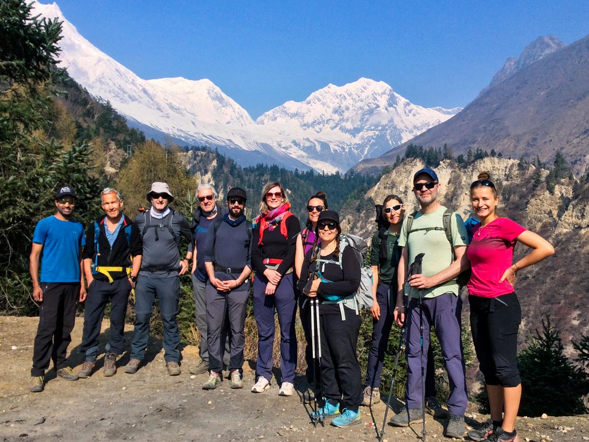
Throughout the trek, we will be passing through different villages like Jagat, Deng, Samagaon, Samdo, etc. while rewarding you with stunning vistas of towering mountains, lush forests, and ever-changing landscapes.
To embark on this memorable Himalayan odyssey, the trekkers must be aware of the distances that they are to cover each day before conquering the highest point of the trek, the Larke La pass.
Manaslu Circuit Trek Distance Breakdown
The table below summarizes the distance between each stop during the Manaslu Circuit trek along with an overview of the approximate time required for you to reach the destination:
| Day | Location | Distance (km) | Duration (hours) |
| 3 | Machha Khola – Jagat | 22 km | 7 to 8 hrs |
| 4 | Jagat – Deng | 20 km | 7 to 8 hrs |
| 5 | Deng – Ghap | 15 km | 5 to 6 hrs |
| 6 | Ghap – Lho | 16 km | 6 to 7 hrs |
| 7 | Lho – Samagaon | 16.5 km | 5 to 6 hrs |
| 8 | Samagaon (Acclimatization) | Birendra Lake – 3 km Manaslu Base Camp – 12 km | 2 to 3 hours 6 to 7 hours |
| 9 | Samagaon – Samdo | 16.5 km | 4 to 5 hrs |
| 10 | Samdo – Dharmasala | 12 km | 5 to 6 hrs |
| 11 | Dharmasala- Larkya La Pass- Bimthang | 24.5 km | 9 to 10 hrs |
| 12 | Bimthang – Tilije | 25.5 km | 7 to 8 hrs |
| 13 | Tilije – Tal | 16 km | 5 to 6 hrs |
Day 3: Machha Khola to Jagat (22 kms, 7 to 8 hours)
After a 7-8 hour long scenic drive on the dirt road from the capital to Machha Khola and an overnight stay, the stage is set for your adventurous trek with Machha Khola being the starting point of your trek.
Accompanied by the wild Marijuana plants, the trekkers begin their journey towards Khrolabesi (970m) as they make their way to Jagat. As they continue, they come across a hot water spring called ‘Tatopani’ before making a stop at Dovan.
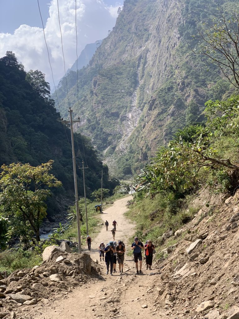
When in Dovan (1,070 m), the river side of the massive Budi Gandaki, the trekkers can enjoy sights of stoats attracting the birds in the riverside. The trail presents the trekkers with a gentle ascent alongside the Budi Gandaki River.
The trekkers come across an exciting adventure at the cantilever bridge, one of its kind, once they cross the traditional Gurung villages at Yaru Besi and make their way towards Jagat (1,340 m).
The trek from Machha Khola to Jagat is a strenuous expedition of approximately 7 to 8 hours, covering 22 kms while crossing many landslide-prone areas and witnessing scenic vistas with the day coming to an end at the picturesque village of Jagat.
Day 4: Jagat to Deng (20 kms, 7 to 8 hours)
The day begins with trekkers heading towards Salleri while first descending to Dudh Pokhari and then crossing suspension bridge to behold a stunning waterfall beyond Jagat.
In Salleri, the trekkers can see several rice and millet fields, along with a breathtaking view of the 7,187 m tall Shringi Himal. Crossing several suspension bridges over the Budi Gandaki River, the trekkers make their way to Philim via Ghatte Khola.
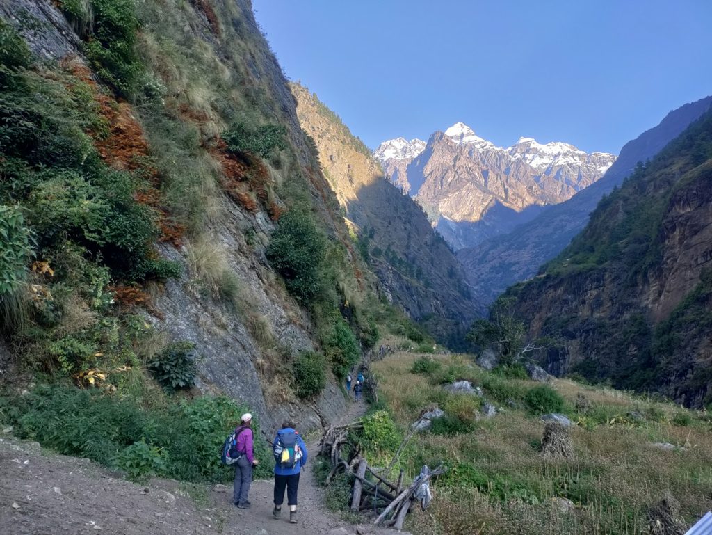
The path crossing through Chisapani and Eleklibhatti boasts stunning views of gorgeous flowers and lush bamboo forests as the Budi Gandaki valley narrows down with precipitous walls.
Trekkers then reach Nyak which is the splitting point of the Tsum Valley and the Larke La Pass. With an ascent towards Pewa from Nyak, the trekkers slowly make their way to Deng after 20 kms of walking for almost 8 hours.
Day 5: Deng to Ghap (15 kms, 5 to 6 hours)
Commencing the trek on day 5, the trekkers will head towards Rana village with a sharp and zigzagging ascent. From Rana village continues the ascension to Bhi Phedi in the steep uphill trail.
The day is comparatively light with the ascents coming to an end for the day. After Bhi Phedi, there are gradual terrains that must be travelled carefully as these are landslide-prone areas.
After covering 15 kms for approximately 5 hours, the day comes to an end in Ghap at an elevation of 2,660 m.
Day 6: Ghap to Lho (16 kms, 6 to 7 hours)
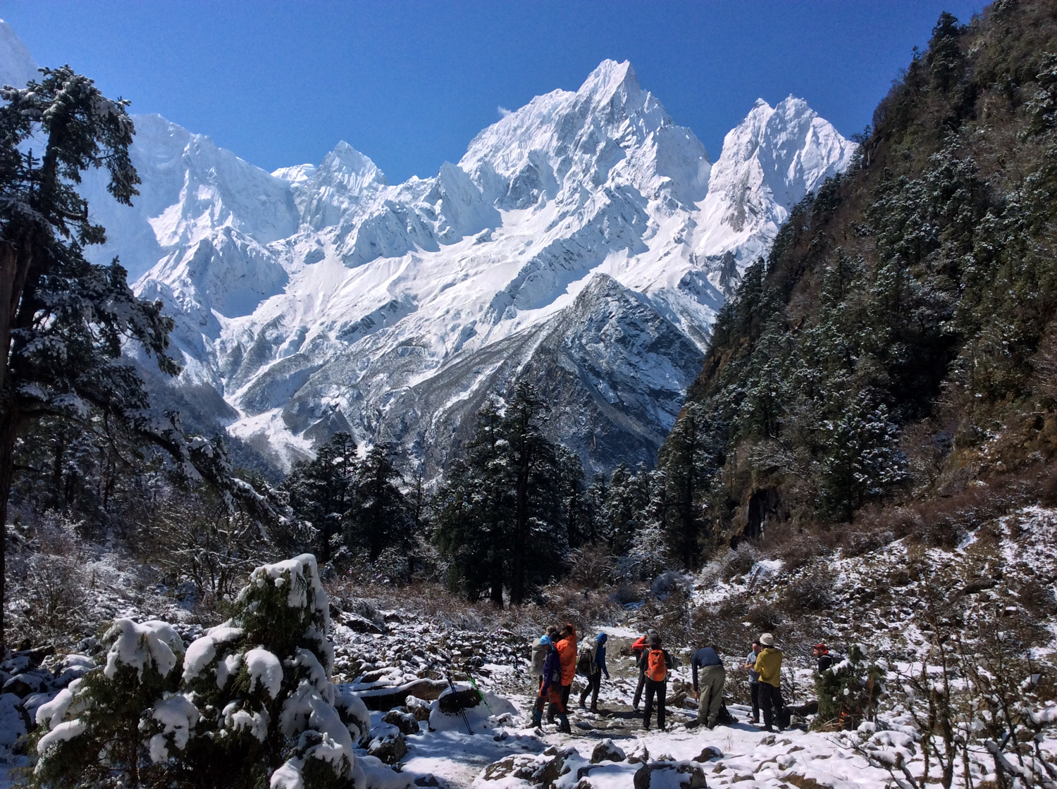
With the promise of getting a glimpse of the Twin Manaslu Summit, the sixth day of the trek begins with the trekkers passing through forests to reach Namrung.
Along the way, the trekkers traverse through the beautiful blue pine, oak, and rhododendrons while still accompanied by the Budi Gandaki. From Namrung, the journey continues towards Lhi on a levelled path followed by a vertical trail.
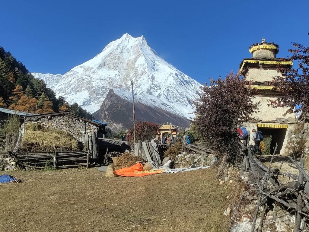
The crisp views of the stunning mountains unfold as the trekkers continue towards Sho village crossing the Hinan River. Ascending a bit uphill, the trail takes the trekkers to Lho village (3180 m) which boasts a stunning view of the twin Manaslu Summit.
Along the 7-hour journey across these 16 kms, the clear mountain views of other peaks like Syaula Himal, Buddha Himal, Ganesh Himal Range, Manaslu Naike Peak, and Manaslu North unravel before the trekkers.
Day 7: Lho to Samagaon (16.5 kms, 5 to 6 hours)
After a rewarding and tranquil experience at Lho, the journey on day 7 stretches around 16.5 kms which the trekkers complete within 5 to 6 hours of trek.
While a small stop can be made at the Lho Ribang Gompa, the trail encompasses a walk along the stream up to Shyla while crossing pine forests. Basking in the serene views of the towering peaks, cultural elements start to unfold along the trail.
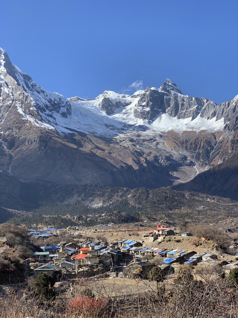
Accompanied by monasteries and prayer flags, the descending trail with gradual terrains takes the trekkers to Samagaon (3520 m) ending the day.
Day 8: Acclimatization at Samagaon (3 kms – 2 to 3 hours / 12 kms – 6 to 7 hours)
On this extremely important acclimatization day, the trekkers can rejuvenate and indulge in the local culture. Pungyen Gompa is one of the trekkers’ choices to explore while in Samagaon.
For the acclimatization trek, Birendra Tal Lake and Manaslu Base Camp are two popular options.
Traversing 3 kms, a trek of 2 to 3 hours to Birendra Tal Lake can be suitable for the day.
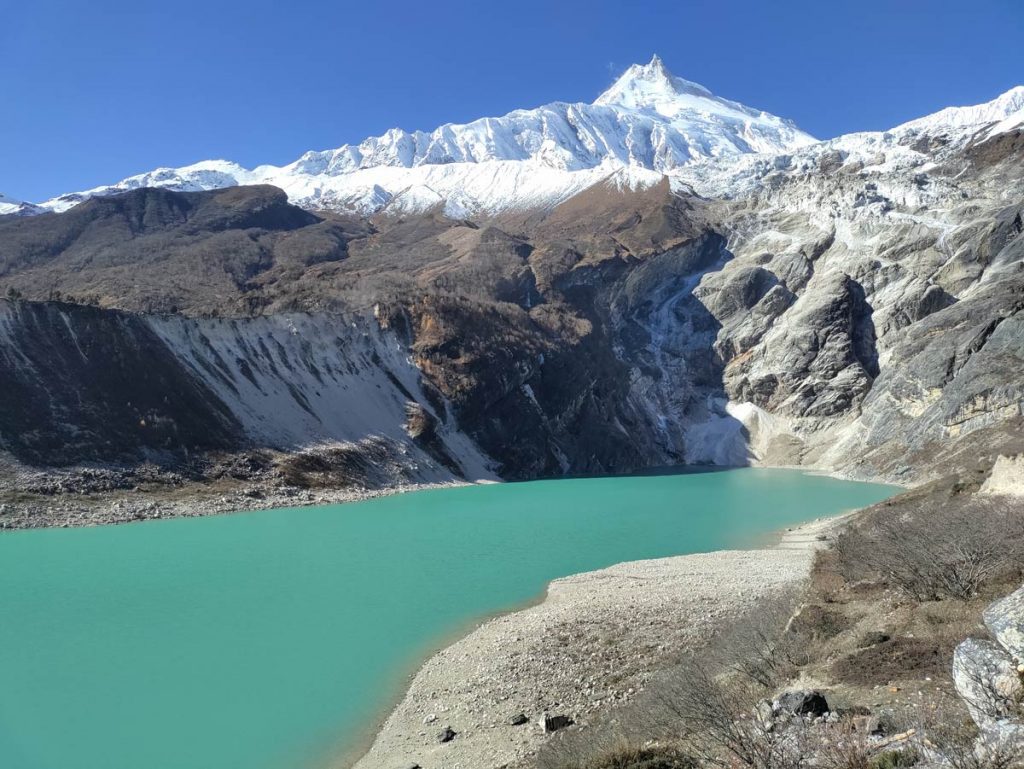
For the Manaslu Base Camp, the acclimatization trek consists of a demanding uphill ascent to the foot of the eighth highest peak in the world. This 12 kms trek of 6 to 7 hours rewards the trekkers with an intimate view of Mount Manaslu.
The day concludes at Samagaon as the trekkers acclimatize themselves with their preferred trek.
Day 9: Samagaon to Samdo (16.5 kms, 4 to 5 hours)
Going alongside the Budi Gandaki River, the trail traverses through gradual terrains taking the trekkers on a primary-level trek towards Samdo.
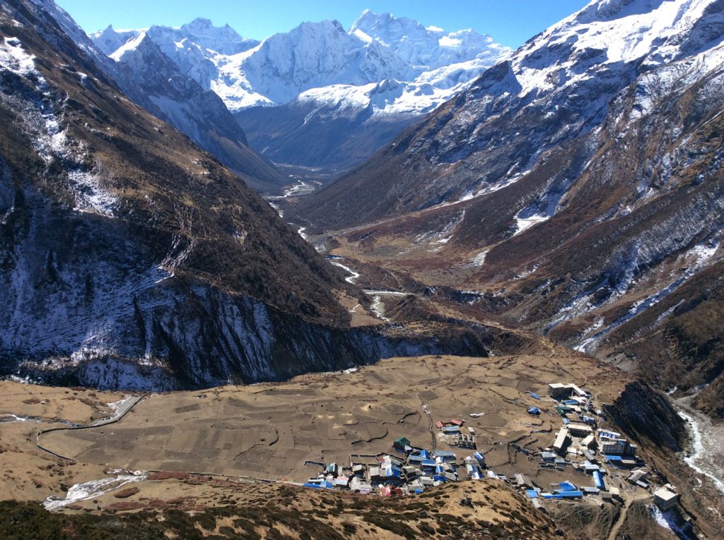
The landscapes transform with the lush forest being replaced by little vegetation across the 16.5 kms journey towards Samdo (3875 m) covered in around 5 hours.
Day 10: Samdo to Dharmasala (12 kms, 5 to 6 hours)
Serving as the resting point for a challenging adventure ahead, Dharmasala comes in as the next stop along the Manaslu Circuit trek.
Following a gradual and level terrain from Samdo, the trekkers reach Larke Bazar which is a former Tibetan trading post and market area.
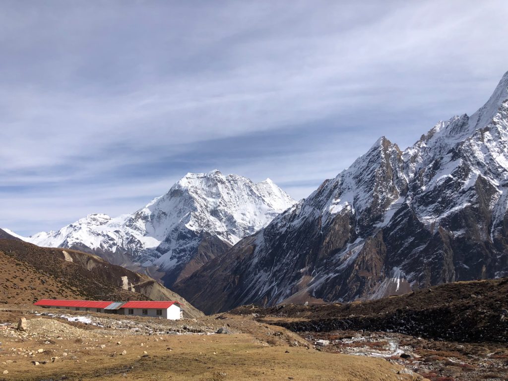
The trekkers continue their smooth ascent along the barren landscape to go a slightly uphill and rugged terrain to reach Dharmasala (4460 m) covering a trail of 12 kms for approximately 6 hours.
Day 11: Dharmasala – Larke Pass- Bimthang (24.5 kms, 9 to 10 hours)
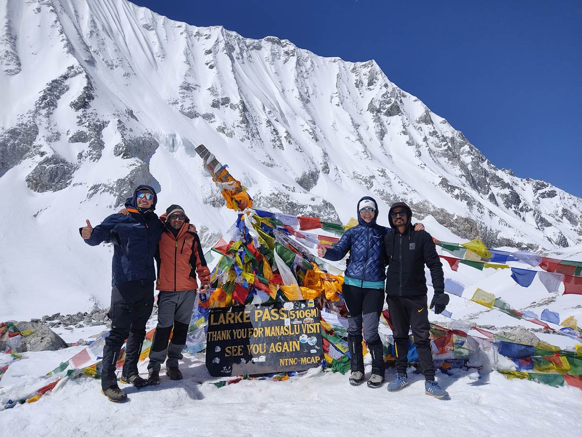
Marking the most important day of the Manaslu Circuit trek, the 11th day marks the pinnacle as it takes the trekkers to the highest elevation of the journey, i.e. Larke Pass.
A mostly rocky trail transcends Cho Chanda in an ascending manner following the uphill, following a steeper uphill that takes you to the pass.
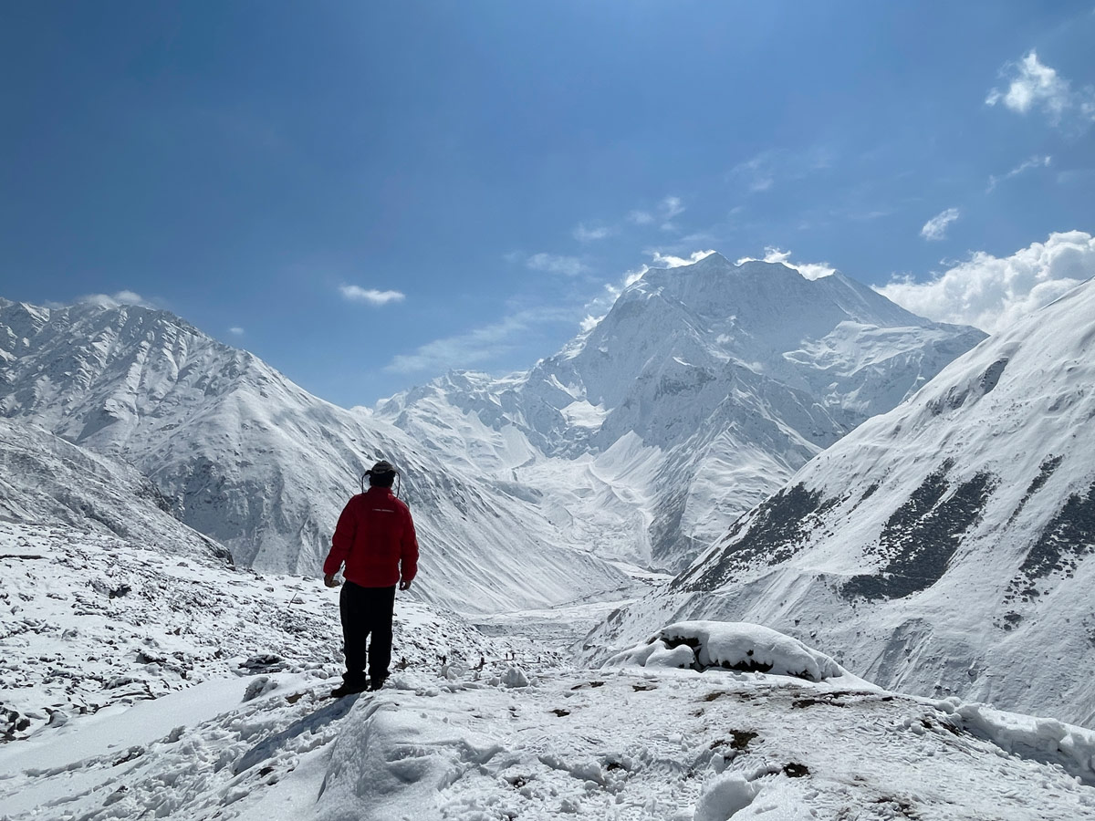
Standing at an altitude of 5160 m, the exhilarating pass rewards the trekkers with serene vistas of Himlung Himal, Cheo Himal, Kang Kuru, and Annapurna II.
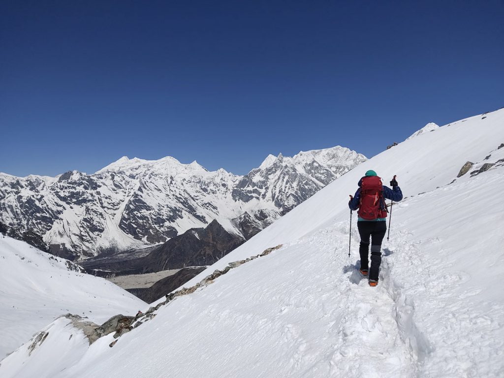
After conquering the pass, the trail becomes a steep slope descending towards Phedi. Traversing through the desert-like terrains, a gradual descent takes the trekkers towards the tranquil valley of Bhimthang.
Passing through these challenging trails, trekkers cover a distance of 24.5 kms within a matter of 9 to 10 hours with constantly changing landscapes.
Day 12: Bimthang to Tilije (25.5 kms, 7 to 8 hours)
After a rewarding day, the trek becomes easier as the trekkers go downhill through the forests to reach Chaurikharkha.
Along the way, they cross paddy fields, beautiful pine and rhododendron forests and a suspension bridge to reach Kharche and then the Goa village.
Offering the final night to immerse in the Gurung and Tibetan culture, the trail reaches the village of Tilije after covering a descend of 25.5 kms in approximately 8 hours.
Day 13: Tilije to Tal (16 kms, 5 to 6 hours)
The descend from Tilije to Tal on the last day marks the conclusion of the Manaslu Circuit trek.
Heading towards the destination, the trail encompasses a journey along the sides of Dona Khola while crossing highly populated villages on the way.
After reaching Dharapani, the trekkers enter the segment on the Annapurna Circuit and continue the trek accompanied by the Marshyangdi River. At Dharapani, the road access is restored with an increased number of people and vehicles.
Getting the taste of the Gurung and Tibetan cultures for the last time, the trekkers travel through several wheat fields and streams and crosses Niyalaghari.
Crossing the final suspension bridge over the Marshyangdi River, we arrive at Tal village located at the bank of the river boasting a stunning waterfall. Encompassing a total distance of 16 kms covered in 5 to 6 hours, this stop concludes our adventurous trek.
