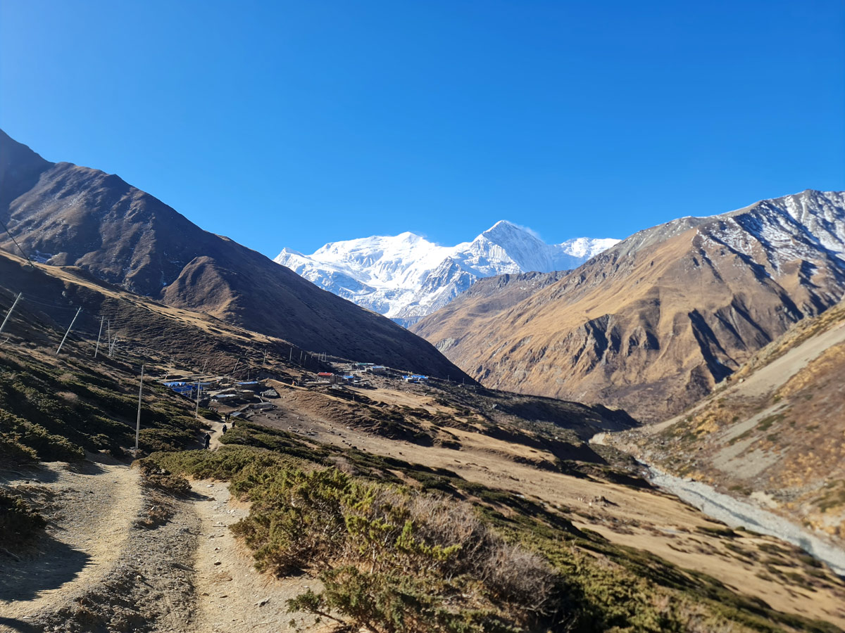
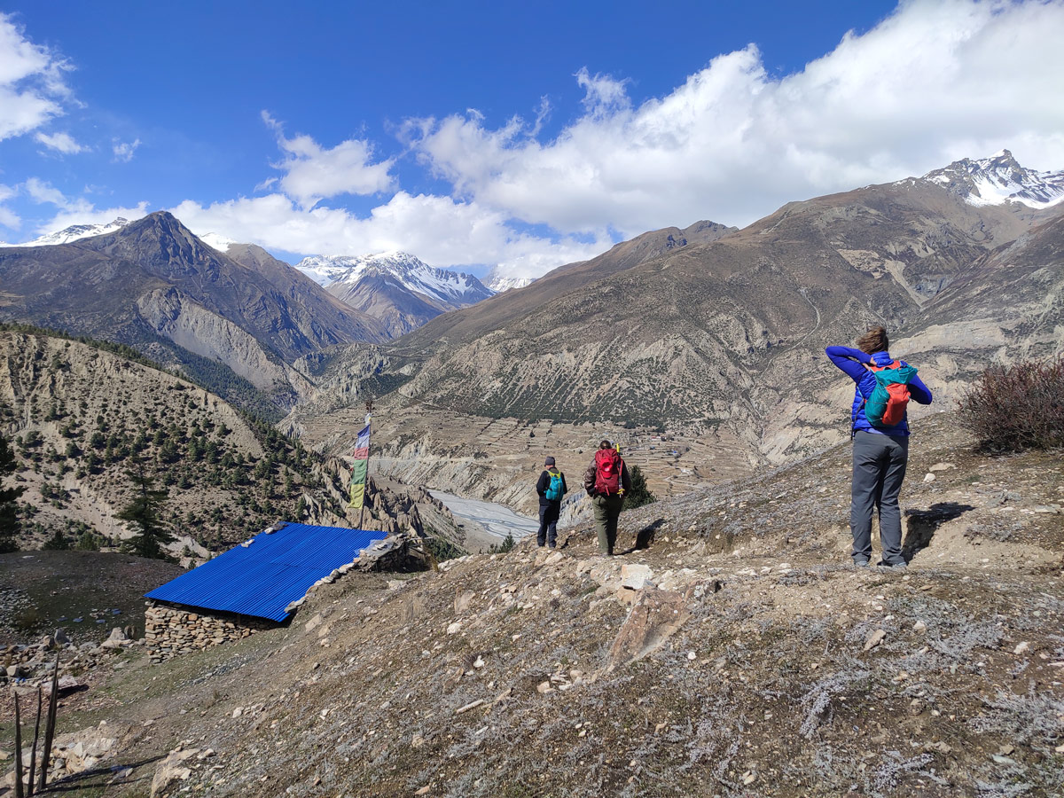
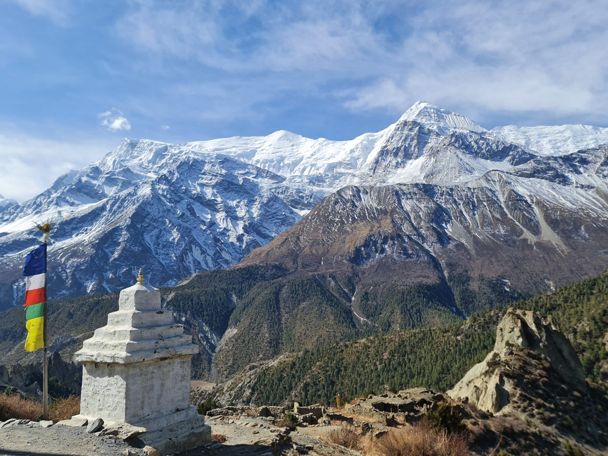
The Annapurna Circuit Trek is a dream for many trekking enthusiasts as it is one of the most iconic trekking routes that takes you on a thrilling journey around the Himalayan giants of Nepal.
However, one of the factors stopping you from embarking on the trek might be the uncertainty about the distance of the trek. Therefore, in this blog, we have a detailed breakdown of the Annapurna Circuit trek distance.
Annapurna Circuit Trek Distance Breakdown
| Day | Segment | Distance (km) | Distance (miles) | Mode | Typical Time |
| 02 | Kathmandu – Dharapani | 222.0 | 137.9 | Drive | 8 to 9 hours |
| 03 | Dharapani – Chame | 15.7 | 9.8 | Trek | 5 to 6 hours |
| 04 | Chame – Upper Pisang | 17.2 | 10.7 | Trek | 6 to 7 hours |
| 05 | Upper Pisang – Ngawal | 10.6 | 6.6 | Trek | 4 to 5 hours |
| 06 | Ngawal – Manang via Bhraka | 9.1 | 5.7 | Trek | 3 to 4 hours |
| 07 | Acclimatization in Manang | 4.6 | 2.9 | Hike | Flexible |
| 08 | Manang – Yak Kharka | 10.7 | 6.6 | Trek | 5 to 6 hours |
| 09 | Yak Kharka – Thorong Phedi | 6.5 | 4.0 | Trek | 5 to 6 hours |
| 10 | Thorong Phedi – Muktinath via Thorong La | 16.4 | 10.2 | Trek | 8 to 9 hours |
| 11 | Muktinath – Tatopani (via Jomsom) | 72.0 | 44.7 | Drive | 3 to 4 hours |
| 12 | Rest Day in Tatopani | 0 | 0 | Rest | — |
| 13 | Tatopani – Ghorepani | 15.2 | 9.4 | Trek | 6 to 8 hours |
| 14 | Ghorepani – Poon Hill – Birethanti – Pokhara | 16.2 | 10.1 | Trek + Drive | 5 to 6 hours trek and 1 to 3 hours drive |
Day 02: Drive from Kathmandu (1,400 m / 4,593 ft) to Dharapani (1,860 m / 6,102 ft)
After a scenic 222 km (137.9 mi) drive alongside the Marshyangdi River from Kathmandu to Dharapani that takes around 8 to 9 hours, you settle in for the night and prepare for the trek ahead.
An exploration of the landscapes of the lower Annapurna region while meandering alongside the banks of the Marshyangdi River sets the stage for the exciting adventure that awaits you throughout the Annapurna Circuit trek.
Being the approach day to the trek, the journey brings you steadily into the valley and closer to the mountains on a gradually ascending road.
Small traditional villages displaying the remoteness of Nepal like Bhulbhule, Jagat, and Tal pass by your window, with beautiful waterfalls and lush forests dotting the gorge.
Upon reaching the Dharapani area, the valley narrows and the air feels crisper as you gear up for tomorrow’s walk.
The day comes to an end at the picturesque and hospitable village of Dharapani where you can unwind and prepare for the next day of adventure.
Day 03: Trek from Dharapani (1,860 m / 6,102 ft) to Chame (2,670 m / 8,760 ft)
For the trek from Dharapani to Chame, the trail continues alongside the Marshyangdi River, covering 15.7 km (9.8 mi) within a period of about 5 to 6 hours, taking you deeper into the Annapurna region.
You will pass the villages of Bagarchhap and Danaque, with pine forests and stands of fir appearing more frequently as you gain altitude. The long climb to Timang rewards you with your first wide mountain views.
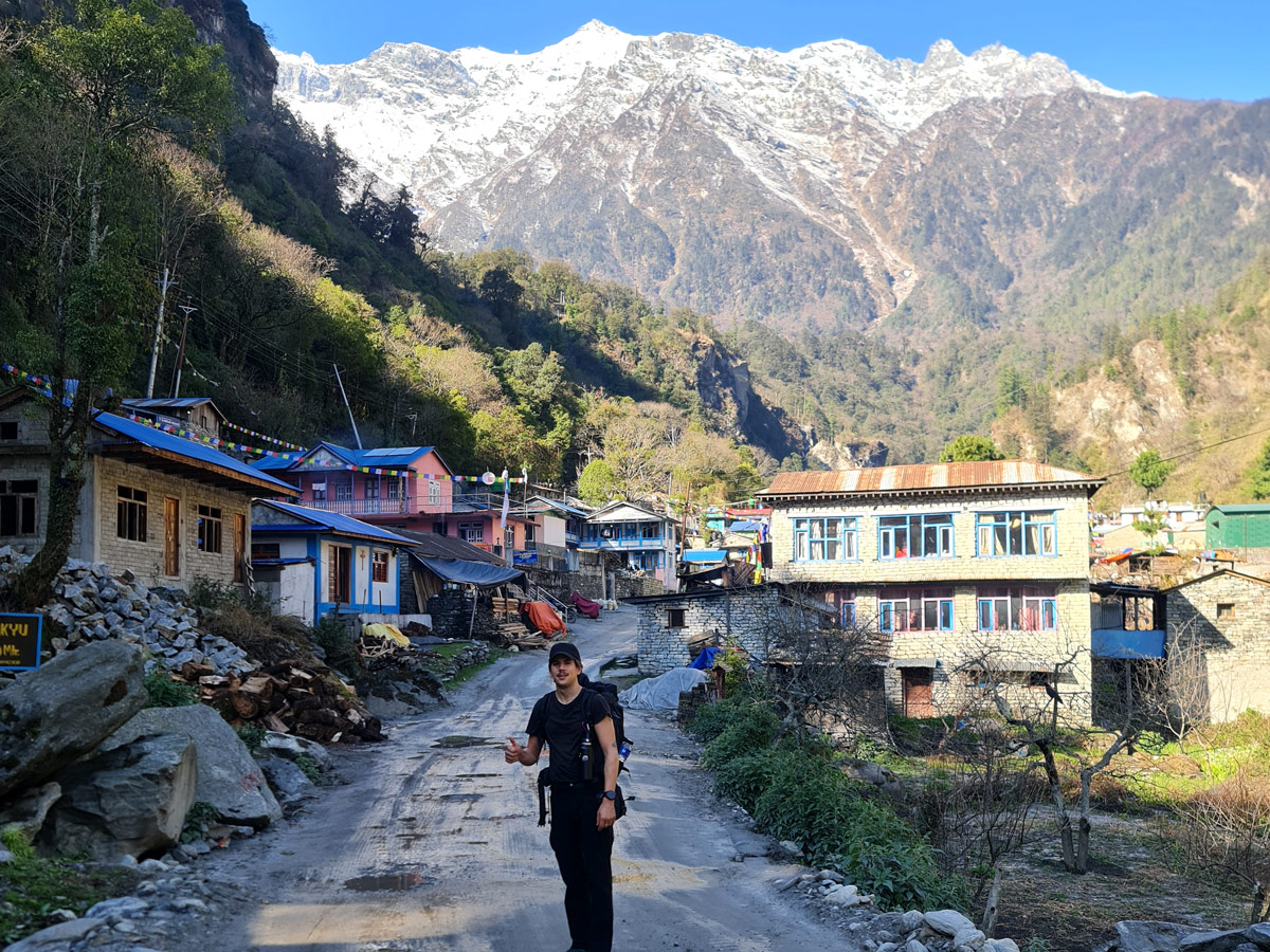
There are several suspension bridges along the way, and ACAP checkpoints operate in this section, including at Dharapani and Chame. Keep your permits handy.
From Timang, the track undulates through Thanchok and Koto before the final, gentle approach into Chame at 2,670 m (8,760 ft).
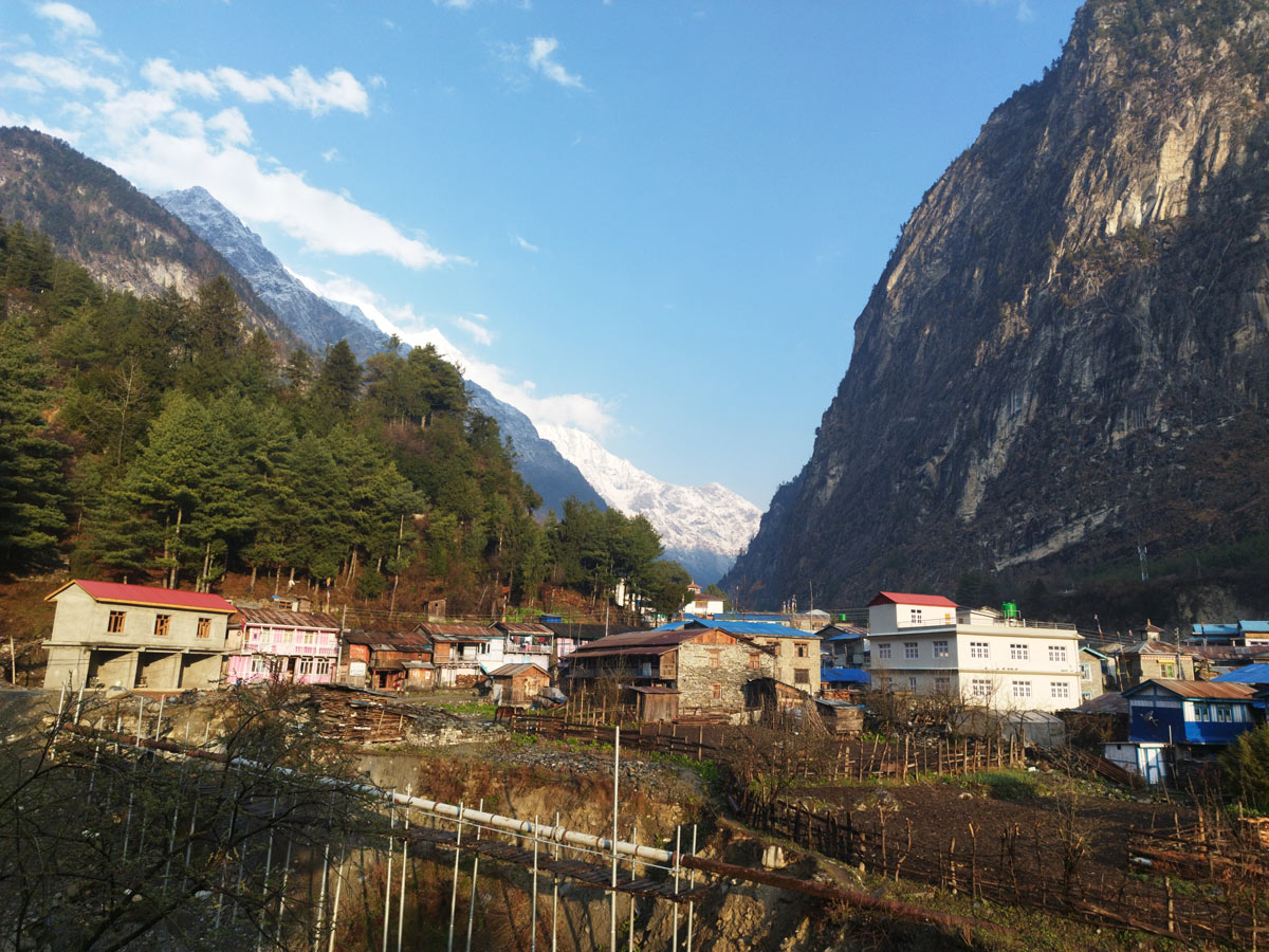
Chame is the administrative center of Manang District and has comparatively better facilities, including bakeries, shops, and gear needs if you forgot small items.
On a clear day, you can spot Annapurna II (7,937 m / 26,040 ft) rising impressively above the valley, along with glimpses of Pisang Peak (6,091 m / 19,984 ft).
Day 04: Trek from Chame (2,670 m / 8,760 ft) to Upper Pisang (3,300 m / 10,827 ft)
A comparatively easier day, the journey from Chame to Upper Pisang is moderately challenging as you will be covering around 17.2 km (10.7 mi) with an elevation gain of about 630 m (2,067 ft) over 6 to 7 hours.
You walk through forests of pine and fir, with waterfalls crashing down the cliffs. The deep river gorge opens up into bigger views, and Paungda Danda, the dramatic curved rock face above the river, is a striking landmark.
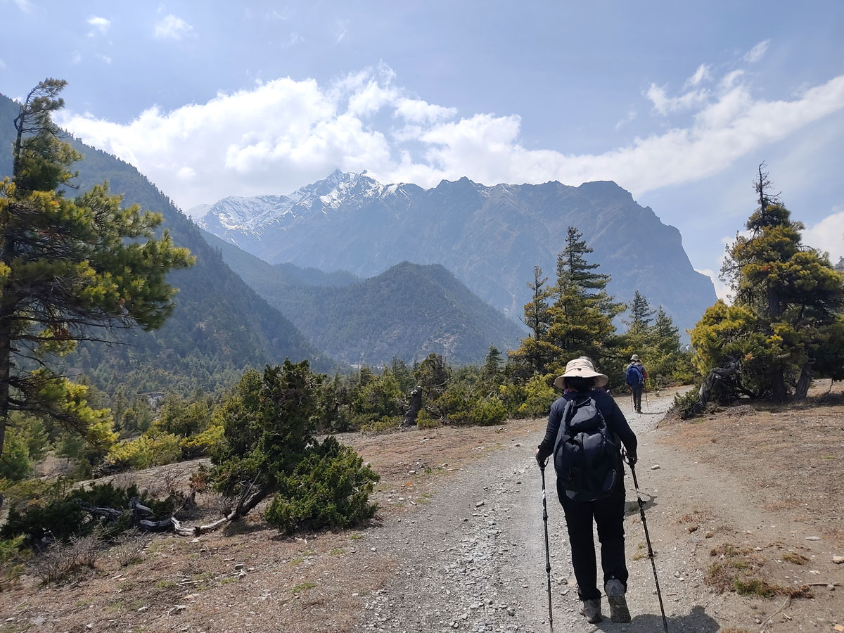
You will be nearing the Annapurna range, with frequent views of Annapurna II and Pisang Peak.
Cultural touches continue, from prayer wheels and mani walls to village courtyards in places like Thanchowk and Koto earlier and then on toward Lower and Upper Pisang.
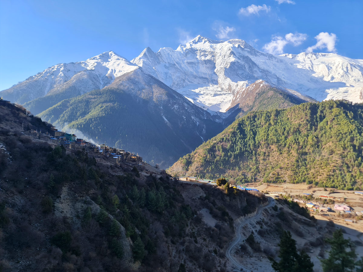
After 6 to 7 hours of walking, you reach Upper Pisang, a photogenic settlement with a monastery above and stone-lined alleys that look across to Annapurna II.
Day 05: Trek from Upper Pisang (3,300 m / 10,827 ft) to Ngawal (3,660 m / 12,008 ft)
Wake to breathtaking views of Pisang Peak (6,091 m / 19,984 ft) and Annapurna II (7,937 m / 26,040 ft), with the first light hitting the high faces.
After breakfast in Upper Pisang, the trek continues toward Ngawal. This is the higher route toward Manang and is known for its big panorama.
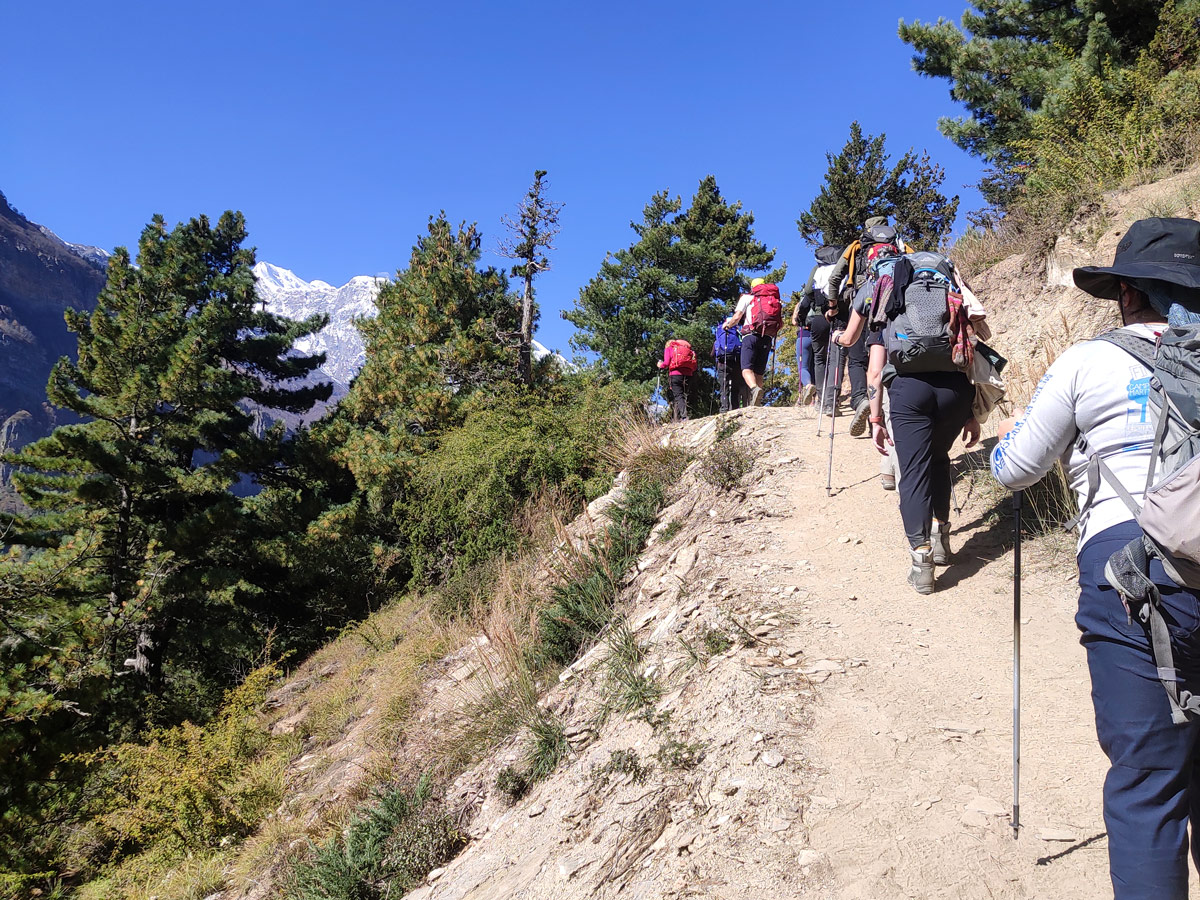
A steady climb from Upper Pisang takes you to Deurali Danda (3,486 m / 11,437 ft), one of the region’s fine viewpoints. You then continue upward toward the ridge beside the village of Ghyaru, where long mani walls and a hillside cluster of houses make an unforgettable scene.
The total journey from Upper Pisang to Ngawal is 10.6 km (6.6 mi), full of prayer flags and dryland junipers, with a good chance of seeing high-altitude birds. The highlight is the continual vista of Annapurna II and III, Pisang Peak, and Gangapurna.
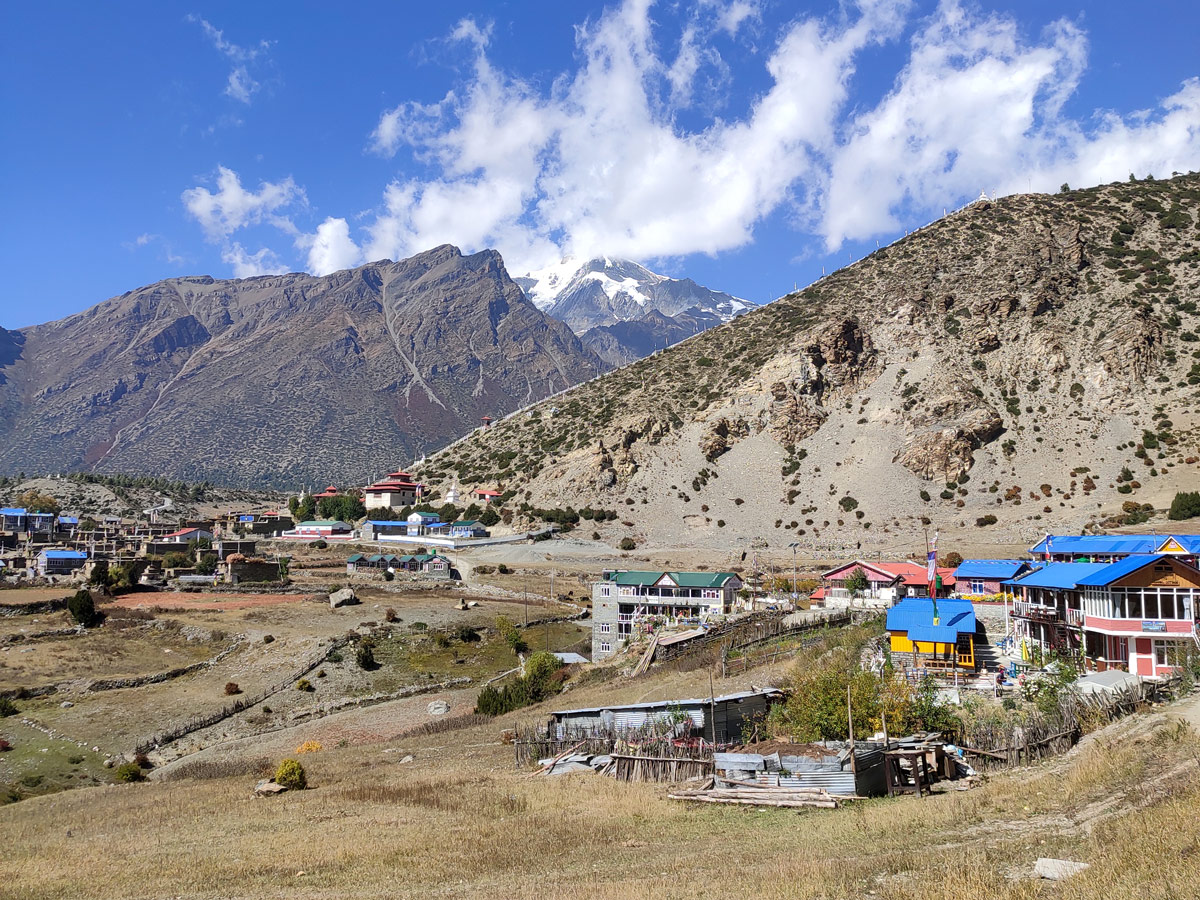
You reach Ngawal at 3,660 m (12,008 ft), a traditional village on a terrace above the valley. Expect an elevation gain of around 360 m (1,181 ft) over 4 to 5 hours.
Day 06: Trek from Ngawal (3,660 m / 12,008 ft) via Bhraka (3,360 m / 11,023 ft) to Manang (3,540 m / 11,614 ft)
One of the major segments in the Annapurna Circuit trek, this day will cover the 9.1 km (5.7 mi) distance between Ngawal and Manang as it takes you there via Bhraka over 3 to 4 hours.
Although the destination and the starting point are not very far in terms of altitude, you will see a significant dip in the elevation from Ngawal at 3,660 m (12,008 ft) to Bhraka at 3,360 m (11,023 ft).
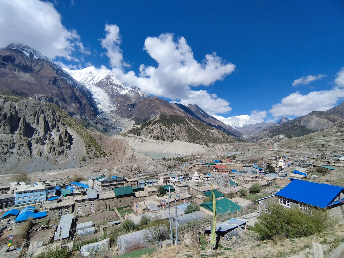
The trek will begin with a descent toward Bhraka followed by another descent toward Manang, encompassing several unique cultural encounters and stunning panoramic vistas.
Known for its scenic beauty, the segment from Ngawal to Bhraka passes through big hills and lush forests which look ethereal against the white Himalayan backdrop.
Along with the local flora and fauna, trekkers can witness several small stupas, lama schools, mani walls, and prayer flags that add to the beauty of the region.
Among the several stupas, a significant stop is the ancient Bhraka Gompa, considered around 900 years old and of high religious, cultural, and historical value.
After exploring this landmark, you can make optional stops at other monasteries in the area like Lophelling Monastery, Sher Gompa, and smaller ones before reaching Manang at 3,540 m (11,614 ft) — a crucial stop on the Annapurna Circuit trek.
Day 07: Acclimatization Day at Manang (3,540 m / 11,614 ft)
Given the challenging pinnacle of the Annapurna Circuit trek at 5,416 m (17,769 ft), altitude sickness is a high possibility with symptoms like nausea, fatigue, headache, loss of appetite, and sleep disturbance.
While it might seem general, altitude sickness can be dangerous if ignored. Therefore, proper acclimatization is the key to preventing it during the trek.
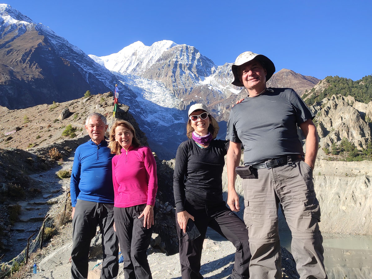
Manang, situated at 3,540 m (11,614 ft), is the perfect acclimatization stop — ideal altitude, great facilities, hiking options, and welcoming culture.
Spend the day exploring the surrounding area to let your body adapt. Short hikes to Gangapurna Glacial Lake (3,900 m / 12,795 ft) and nearby monasteries are ideal.
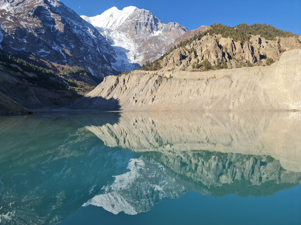
Trekkers with extra time can also hike to Milarepa’s Caves, Tilicho Lake (4,919 m / 16,138 ft), or Kicho Tal (4,600 m / 15,092 ft) for spectacular views.
Return to your teahouse for local cuisine and the warm hospitality of the Manangis.
Day 08: Trek from Manang (3,540 m / 11,614 ft) to Yak Kharka (4,050 m / 13,287 ft)
After proper acclimatization, continue the trek toward Yak Kharka.
Covering an altitude difference of about 500 m (1,640 ft), this segment is significant for elevation gain. Starting from Manang, a steep ascent brings you to Tengi (3,690 m / 12,106 ft).
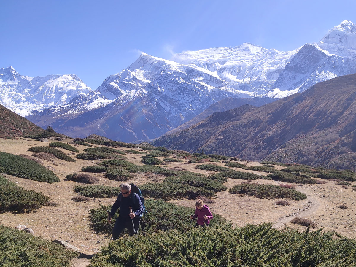
Leaving the Marshyangdi Valley, the trail crosses rivers like Thorung Khola and Ghyanchang Khola. The 10.7 km (6.6 mi) journey takes about 5 to 6 hours.
You’ll pass the Ghusang Monastery (3,950 m / 12,959 ft) before reaching Yak Kharka at 4,050 m (13,287 ft), where the landscape opens to yak pastures and stunning views of Gungang Himal, the Chulus, Kangla Himal, and Annapurna.
Day 09: Trek from Yak Kharka (4,050 m / 13,287 ft) to Thorong Phedi (4,525 m / 14,846 ft)
From Yak Kharka to Thorong Phedi is a challenging stretch as you will be traversing through several landslide-prone areas and making your way through loose scree and rocky terrains of the region.
The day starts with an ascent towards Ledar (4,200 m / 13,779 ft), which is a landslide-prone area, so be very careful. The trail today will be a little undulating with turns of ascent and sudden descents, especially for river crossings.

However, after navigating the challenging trail, you finally climb to reach the base of the Thorong La Pass at the Thorong Phedi.
Located at an elevation of 4,525 m (14,846 ft), Thorong Phedi is the final stop before crossing the challenging Thorong La Pass. It is worthy of the challenge as the stark yet captivating landscapes of this high altitude are truly a unique experience.
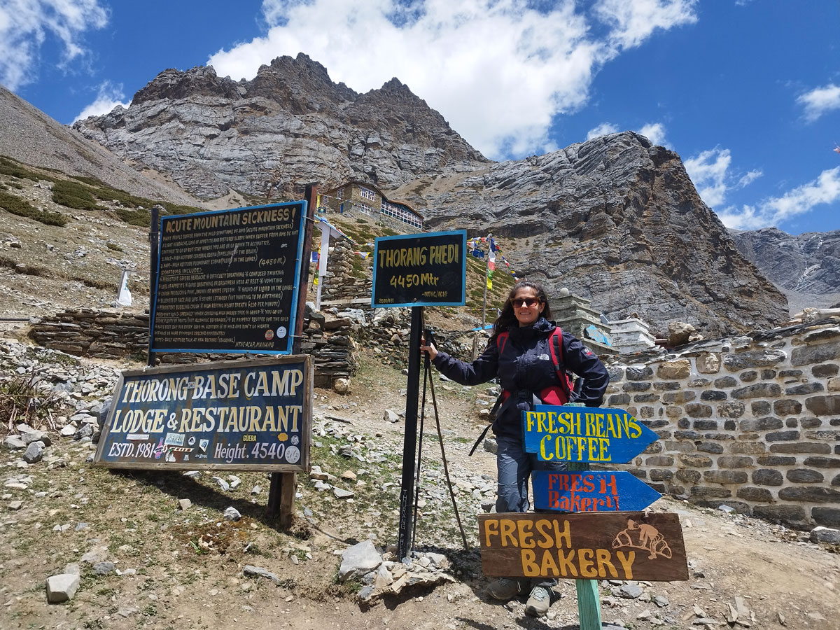
The total distance covered to reach Thorong Phedi from Yak Kharka is around 6.5 km (4.0 mi), which is covered over a flexible time of 5 to 6 hours. You will be covering an altitude difference of around 475 m (1,558 ft) during this segment.
As this is your resting spot for the day, you will find basic amenities in the teahouses available at the Thorong Phedi. You will also be pleased with the beautiful sight of Thorung Peak, Syagang, and Gundang Himal.
Day 10: Trek from Thorong Phedi (4,525 m / 14,846 ft) to Muktinath (3,760 m / 12,336 ft) via Thorong La Pass (5,416 m / 17,769 ft)
Buckle up as this day is the most challenging but rewarding day of the entire trek because you will be face-to-face with the ultimate challenge of the Annapurna Circuit — the Thorong La Pass.
The Thorong La Pass is not just the pinnacle of the Annapurna Circuit trek but, given its altitude at 5,416 m (17,769 ft), it is also one of the highest accessible mountain passes in the world, making it even more significant.
However, as huge as the destination sounds, the journey towards it is equally demanding. Therefore, you will be starting early, even before sunrise, so that you can reach the pass before 10 to 11 AM.
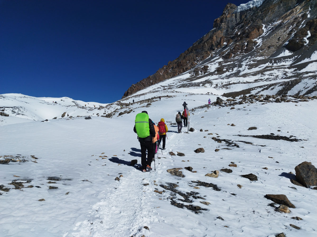
This is important to avoid the challenging weather conditions that might unfold around the pass during the afternoon hours, like strong winds, clouds, and fog. Leaving early has another advantage — witnessing the beautiful sunrise at a high altitude.
To start your challenging day, you will climb steeply on the regular trail. The first ascent will take you to Thorong High Camp (4,880 m / 16,010 ft) where you can use certain facilities before the final ascent to the top.
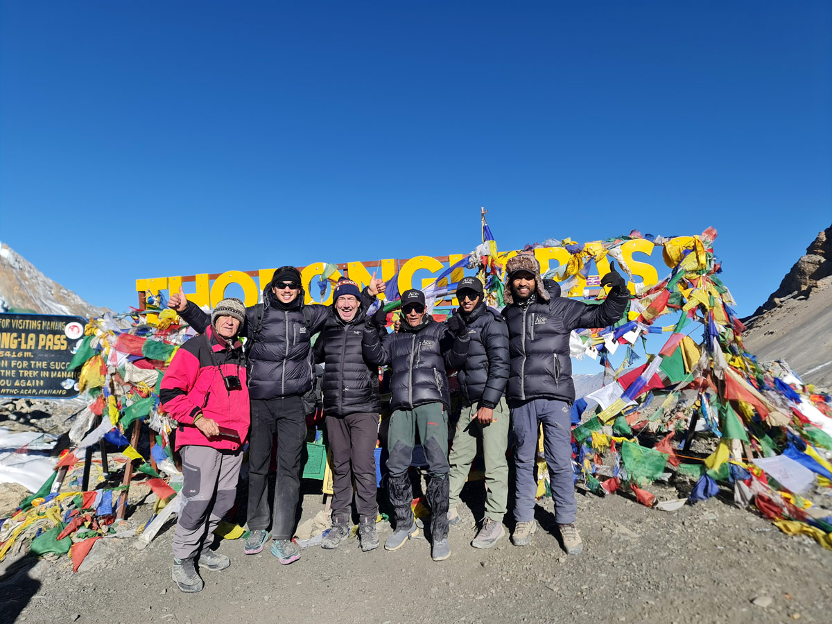
The distance from Thorong Phedi to Muktinath is 16.4 km (10.2 mi), made manageable by the beautiful views, rustic landscapes, and fluttering prayer flags that accompany you throughout the climb.
However, you are met with certain challenges like snow-covered trails, unpredictable weather, cold temperatures, and rugged terrain — not to mention the altitude gain, which might make the climb a little daunting.
Although as challenging as it might be, the breathtaking vista that unfolds as you reach the top of the Thorong La Pass makes the entire struggle worth it. You will be rewarded with a spellbinding view of the Himalayan beauties including Annapurna, Dhaulagiri, Manaslu, Machhapuchhre, Gangapurna, and Muktinath Himal.
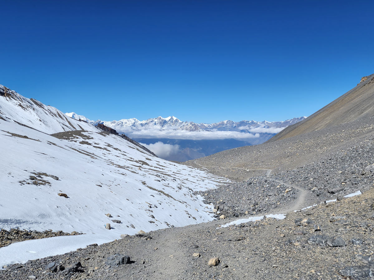
Once you are done soaking in the unmatched beauty of this pass, it’s time to descend. Upon descending alongside the Thorong Khola for a few hours, you will reach Muktinath (3,760 m / 12,336 ft), making your way through places like Chambar Bhir.
A pilgrimage site of high significance for both Hindus and Buddhists, the holy town of Muktinath translates to “the place of Nirvana.” The Muktinath Temple, dedicated to Lord Vishnu, features 108 water spouts and the Jwala Mai Temple, where an eternal flame burns naturally.
Besides the temple, Muktinath also has several monasteries of religious and cultural significance. This is your resting spot after the toughest day of the trek.
The total elevation gain to the pass is about 891 m (2,923 ft) followed by a descent of around 1,616 m (5,302 ft) — truly a day of endurance and triumph.
Day 11: Drive from Muktinath (3,760 m / 12,336 ft) via Jomsom (2,720 m / 8,924 ft) to Tatopani (1,190 m / 3,904 ft)
From Muktinath to Tatopani is a relaxing day as your trekking boots finally take a break. The 72 km (44.7 mi) journey from Muktinath to Tatopani is covered in about 3 to 4 hours by a local jeep or bus.
The descent starts from Muktinath (3,760 m / 12,336 ft) and passes Ranipauwa before continuing along the Kali Gandaki River to Jomsom (2,720 m / 8,924 ft), the headquarters of Mustang District.
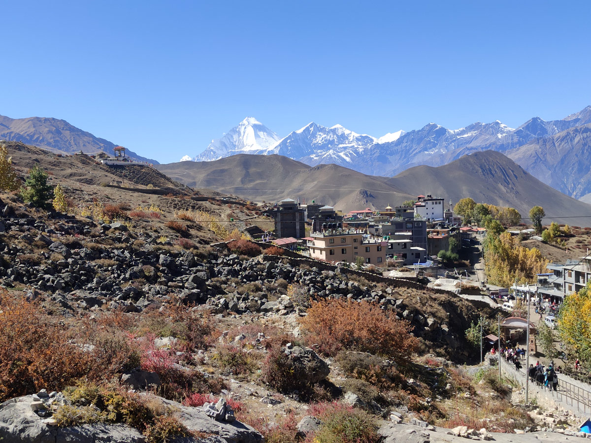
The drive takes you through beautiful villages such as Marpha (2,670 m / 8,760 ft), Tukuche (2,590 m / 8,497 ft), and Kalopani (2,530 m / 8,301 ft), revealing a dramatic change in scenery — from the dry Mustang desert to lush green hills.
As you descend, you will pass through Ghasa (2,030 m / 6,660 ft) and the world’s deepest gorge near Kopchepani (1,620 m / 5,315 ft).
After crossing a small suspension bridge at Jalthale, the road winds down to Tatopani (1,190 m / 3,904 ft), known for its natural hot springs. This drive beautifully marks your transition from the cold arid highlands to a warmer and greener landscape.
Day 12: Rest Day at Tatopani (1,190 m / 3,904 ft)
An important location on the Annapurna Circuit trek, Tatopani is known for its natural hot springs where one can take a relaxing bath surrounded by the hills and the majesty of the Himalayas.
The water here is believed to have healing properties and offers a well-deserved break to soothe sore muscles after the demanding Thorong La crossing.
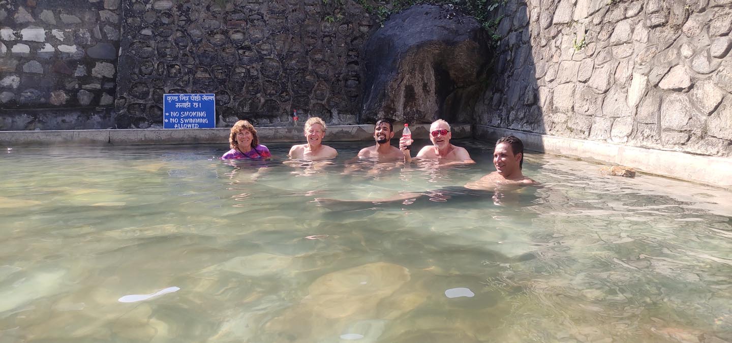
You can spend the day unwinding, strolling around the village, or visiting nearby temples and monasteries. Or simply relax and enjoy the peace that Tatopani has to offer.
This rest day prepares you both physically and mentally for the remaining portion of your trek.
Day 13: Trek from Tatopani (1,190 m / 3,904 ft) to Ghorepani (2,880 m / 9,449 ft)
Getting back into trekking mode, you start the ascent towards Ghorepani. The day covers around 15.2 km (9.4 mi) over 6 to 8 hours of walking.
The trail takes you through traditional Magar villages like Ghara, Shikha, and Phalate, offering insights into rural Nepali life. Lush forests, cascading waterfalls, and rhododendron-covered hills accompany your climb.
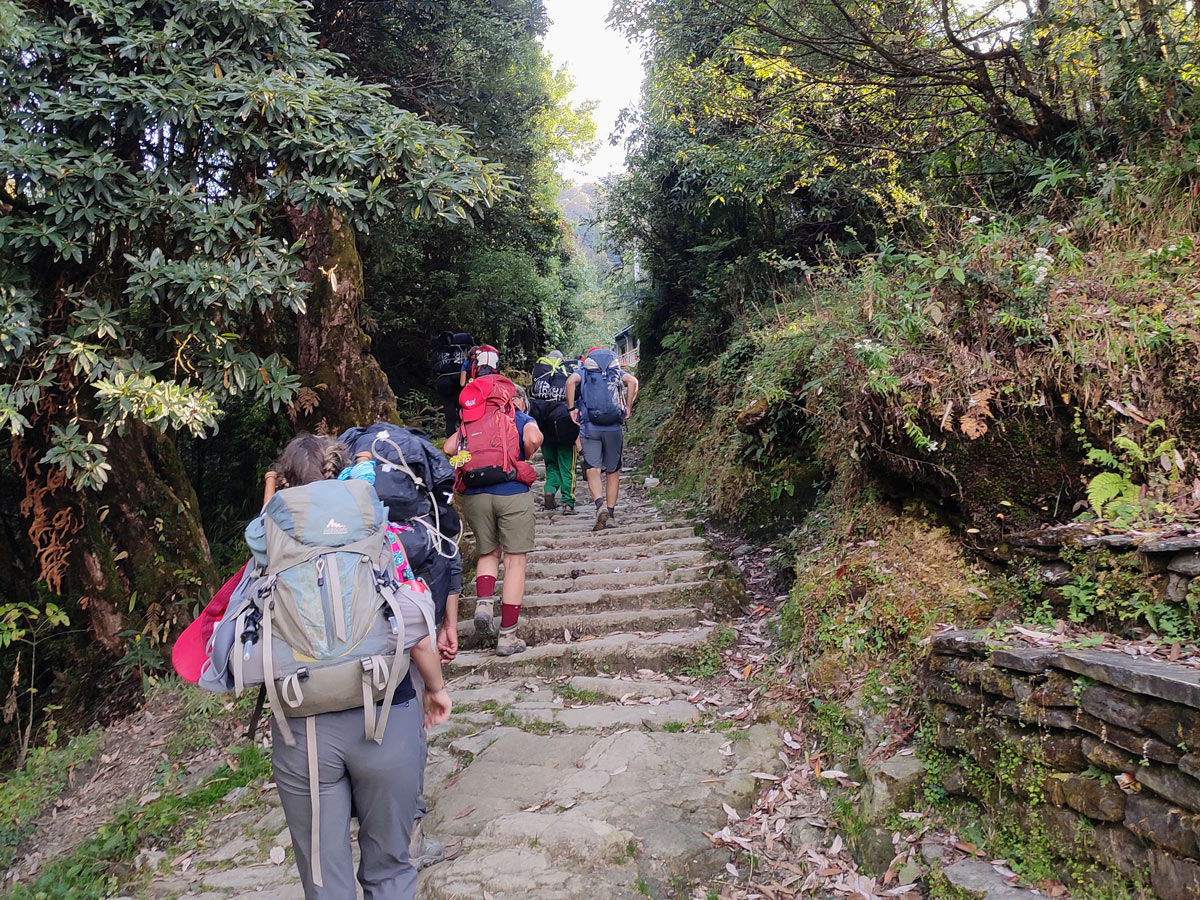
As you reach Ghorepani (2,880 m / 9,449 ft), an ACAP checkpoint marks your entry into the popular Ghorepani Poon Hill trail.
This is one of the most scenic stops of the Annapurna Circuit, with sweeping views of Mt. Dhaulagiri (8,167 m / 26,795 ft), Annapurna South (7,219 m / 23,684 ft), Machhapuchhre (6,993 m / 22,943 ft), and Himchuli (6,441 m / 21,132 ft).
Day 14: Hike to Poon Hill (3,210 m / 10,531 ft) and back, Trek to Birethanti (1,025 m / 3,363 ft) and Drive to Pokhara (900 m / 2,953 ft)
On this final day of the Annapurna Circuit trek, a small detour to one of the best sunrise viewing points awaits you. You will hike to Poon Hill (3,210 m / 10,531 ft) early in the morning — a 3 km (1.9 mi) round trip from Ghorepani.
While starting early might be daunting, the view of the sunrise falling on the snow-capped peaks that greet you at Poon Hill makes it all worthwhile. You get amazing views of the Dhaulagiri (8,167 m / 26,795 ft) and Annapurna (8,091 m / 26,545 ft) ranges from here.
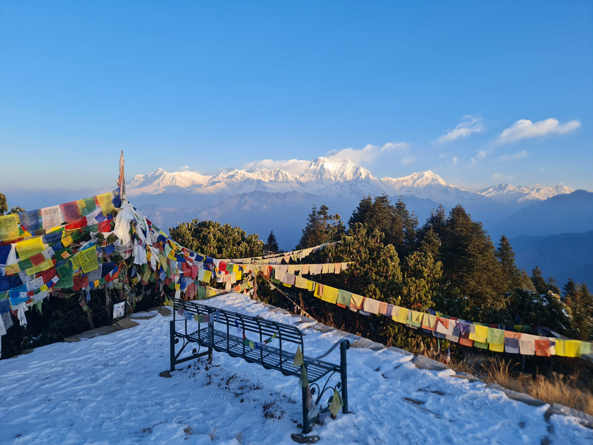
After that, you make your way back to Ghorepani for breakfast. The total distance to Poon Hill and back should be around 3 km (1.9 mi). After breakfast, you will begin your descent toward Birethanti (1,025 m / 3,363 ft).
Making your way through the ridges and rhododendron forests while crossing traditional villages like Nange Thanti, Banthanti, Ulleri, and Tikhedhunga, you will descend gradually over about 16.2 km (10.1 mi) in 5 to 6 hours.
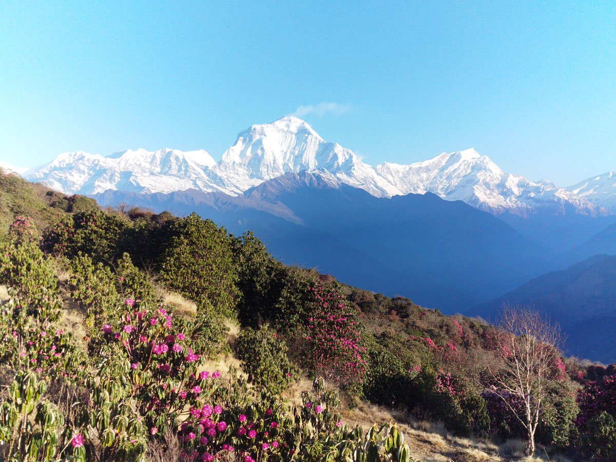
Upon reaching Birethanti, the trek officially comes to an end. From here, you will take a short drive of 1 to 3 hours to reach Pokhara (900 m / 2,953 ft), where you can finally relax and celebrate the completion of your Annapurna Circuit adventure.
